Manzano Mountain Wilderness

Manzano Mountain Wilderness

Manzano Mountain Wilderness occupies some 36,875 acres on the western slopes of the Manzano Mountains in central New Mexico. Elevations range from about 6,000' to the top of Manzano Peak at 10,098'.
The Manzanos got their name from the manzano trees that Spanish explorers found growing there in the early 1700's. The "manzano" is an apple tree and apple trees are not native to North America.
The Manzano Mountains are steep and rugged, sliced and diced with deep canyons and sprinkled with large outcroppings of solid rock. Manzano Mountain Wilderness has more than 64 miles of good trails, but also has a serious lack of campsites and reliable water sources. One good trail heads west out of the Fourth of July Campground near the northern edge of the Manzano Mountain Wilderness. After 1.5 miles, it meets up with a trail that then goes south for 22 miles along the ridge crest to the top of Manzano Peak.
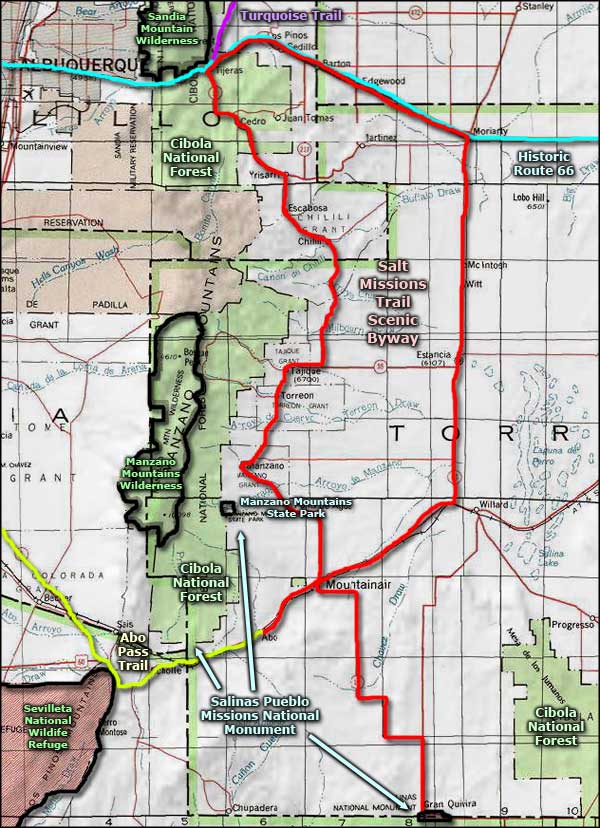
Manzano Mountain Wilderness is completely contained within Cibola National Forest, however, on the northwest side of the wilderness the boundary is against a BLM parcel that is now know as the Manzano Wilderness Study Area. That is an 881-acre property whose only possibility of making it to full wilderness status is if it should become incorporated into Manzano Mountain Wilderness.
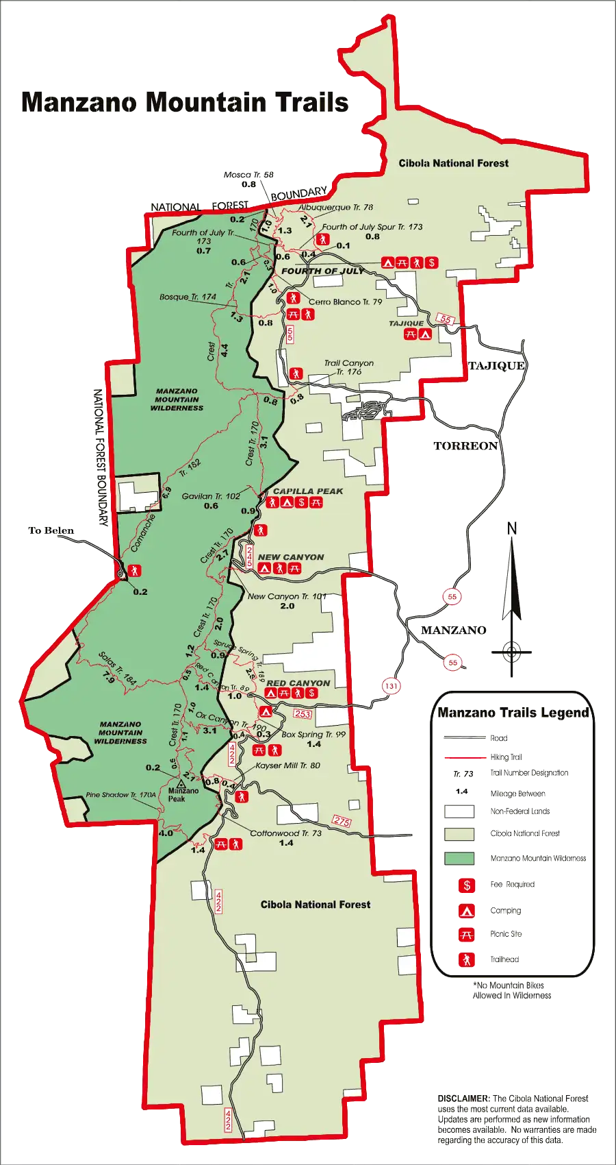
Manzano Mountain Wilderness map: Click on the map for a larger version
Related Pages
Map courtesy of National Geographic Topo!