Table Mountain Wilderness
The 92,600-acre Table Mountain Wilderness is in the Monitor Range in central Nevada. The name comes from a unique high plateau in the center of the Monitors. The Monitor Range rises above 10,000' and is lush enough to support one of the largest populations of mule deer in Nevada. Elk were re-introduced to the area in 1979 and the herd is doing really well. There are also 5 major trout-carrying streams in the Table Mountain Wilderness. Many of the mountainsides are covered with large stands of aspen, some of the trees carved with dates ranging back to 1907.
Entering from the south, the Barley Creek Trail is probably the most used hiking access to Table Mountain Wilderness. As you are hiking along Barley Creek you'll be passing many beaver ponds offering excellent fishing. About 5 miles in you can take a steep side trail that leads up onto the plateau of Table Mountain. The west fork of Barley Creek Trail heads for Dry Lake and then crosses the wilderness to the Morgan Creek Trailhead at the northern end of the wilderness. From Barley Creek Trailhead to Morgan Creek Trailhead is about 20 miles. There are other trailheads at Mosquito Creek (on the west side of the wilderness) and at Clear Creek, Willow Creek and Green Monster Canyon on the east side of the wilderness.
Table Mountain Wilderness can be reached via several dirt roads along the eastern boundary and via improved dirt roads on the north and south sides. The nearest town with supplies is probably Tonopah, 60 miles to the southwest.
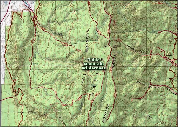
Map courtesy of National Geographic Topo!
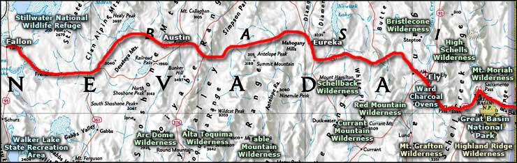
Related Pages
Alta Toquima Wilderness
Arc Dome Wilderness
Bristlecone Wilderness
Currant Mountain Wilderness
Great Basin National Park
High Schells Wilderness
Arc Dome Wilderness
Bristlecone Wilderness
Currant Mountain Wilderness
Great Basin National Park
High Schells Wilderness
Map courtesy of National Geographic Topo!