Wallowa-Whitman National Forest
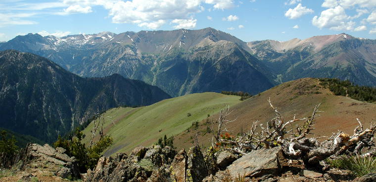
In the Wallowa Mountains
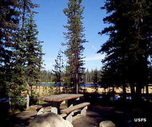
At Grande Ronde Lake Campground
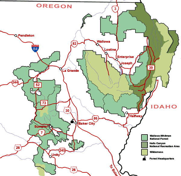
Wallowa-Whitman National Forest is a 2,392,508-acre property in northeastern Oregon with small bits across the Snake River in Idaho.
Wholly administered by Wallowa-Whitman National Forest, the Hells Canyon National Recreation Area is composed of bits of Wallowa-Whitman and the Nez Perce-Clearwater and Payette National Forests in Idaho.
Wallowa-Whitman is bordered by Umatilla National Forest to the north and northwest and Malheur National Forest to the west and southwest.
Wilderness Areas
- Eagle Cap
- Hells Canyon
- Monument Rock
- North Fork John Day
About 600,000 acres of Wallowa-Whitman are included in designated wilderness areas. The Forest is also home to 10 Wild & Scenic Rivers.
The Forest stretches from the Eagle Cap area in the heights of the Wallowa Mountains to the depths of Hells Canyon. Elevations range from 875 feet in Hells Canyon to 9,845 feet in the heart of Eagle Cap Wilderness.
Wild & Scenic Rivers
- Eagle Creek
- Grande Ronde River
- Imnaha River
- Joseph Creek
- Lostine River
- Minam River
- North Fork John Day River
- North Powder River
- Rapid River
- Snake River
Wallowa-Whitman National Forest offers more than 50 developed campgrounds with everything from full hookups on paved loops to rustic parking areas with maybe a hand pump for water, a vault toilet and a fire ring or two. There are more than 2,700 miles of trails and old forest roads on the property. Virtually every mile of trail outside the Wilderness Areas allows mountain bikes.
4 Scenic Byways run through the Forest: Hells Canyon All-American Road Scenic Byway, Elkhorn Drive Scenic Byway, Journey Through Time Scenic Byway and the Grande Ronde Tour Route.
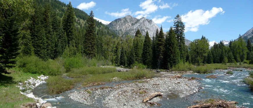
In the Eagle Creek area
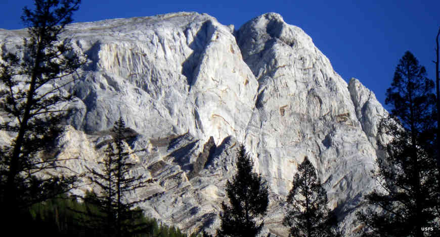
The Matterhorn
Upper photo courtesy of Marc Shandro, CCA 2.0 License
Other photos and map courtesy of the US Forest Service