Russell Lakes State Wildlife Area
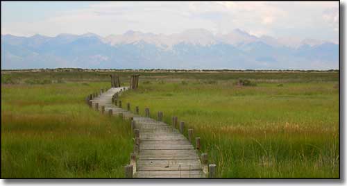
The wooden boardwalk with the Sangre de Cristo's in the background
From Saguache go 9 miles south on US 285 to CR R, then 1.5 miles east to property.
ACRES: 793
OPEN: July 16 to February 14
HUNTING: rabbit, dove, waterfowl
RECREATION: wildlife observation
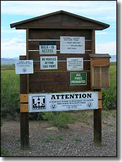
RESTRICTIONS:
ACRES: 793
OPEN: July 16 to February 14
HUNTING: rabbit, dove, waterfowl
RECREATION: wildlife observation
RESTRICTIONS:
- Camping prohibited except in self-contained units in designated areas
- Field trials may be authorized February, March, August and September only.
- Park only in established parking areas.
- Closed except as posted.
- Closed after 1 PM during first waterfowl season.
- Section 29 closed during waterfowl season.
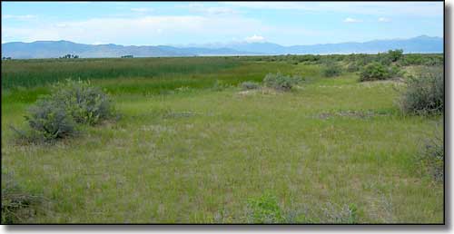
Looking northwest toward the Cochetopa Hills
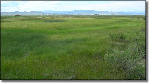
There are some dry areas in between the marshy areas
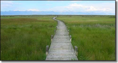
The boardwalk goes east for quite a distance
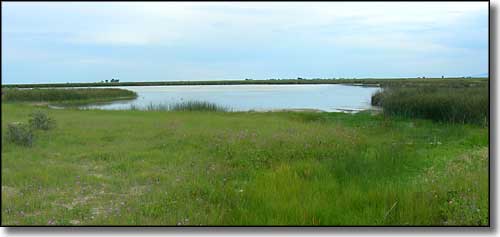
One of the lakes, as seen from the boardwalk
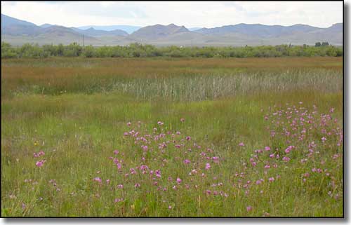
Wildflowers, marshy area, Cochetopa Hills... just beautiful
Related Pages
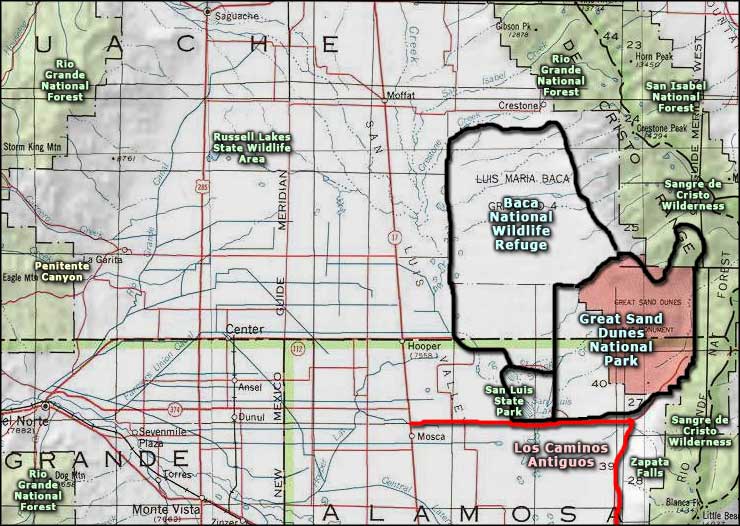
Map courtesy of National Geographic Topo!