Swansea Wilderness
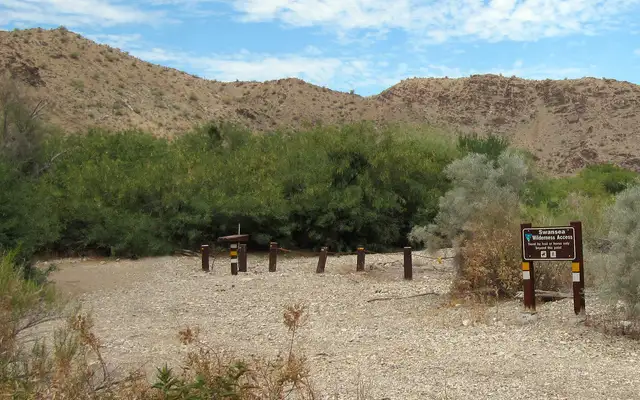
Swansea Wilderness access point
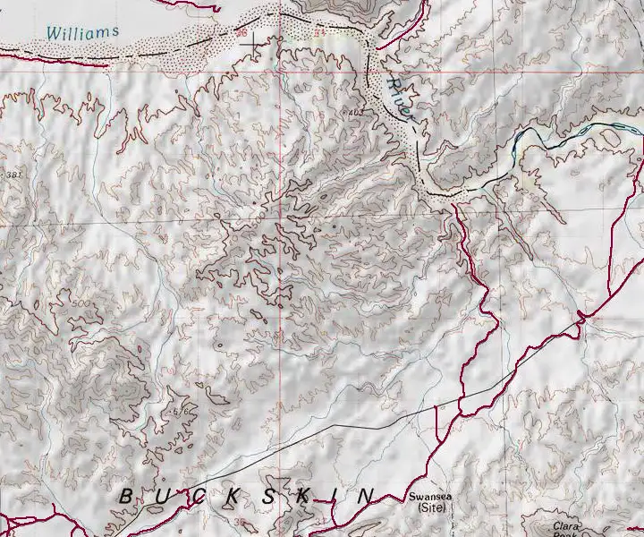
Swansea Wilderness is located about 25 miles east of Parker, Arizona. The 16,400-acre property straddles the Bill Williams River and the La Paz-Mohave county line. The Buckskin Mountains are on the south, Black Mesa on the north and a six-mile stretch of the Bill Williams River cuts across the center.
The Buckskin Mountains in this area are an old formation, heavily eroded with rounded peaks that drop into a complex drainage system leading north to the river. On the north side of the river is Black Mesa: a volcanic area of eroded dikes and plugs surrounding the precipitous cliffs that drop from the top of Black Mesa itself. Except for the riparian zone along the Bill Williams River, this is a very water-challenged area.
Vegetation away from the river is a mix of Sonoran and Mohave species: paloverde, ironwood, saguaro, cholla, ocotillo, yucca, barrel cactus and Joshua tree. Because of the lack of water and food, wildlife is sparse.
Folks come to Swansea Wilderness for day hiking, backpacking, sightseeing, horseback riding, photography and rock climbing. Some just come to visit the historic old mining ghost town of Swansea, just outside the wilderness boundary. Because of that former mining heritage, some lands in and around the wilderness area are still held by private parties. The Wilderness Land Trust has been instrumental in purchasing a number of these private properties and making them part of the wilderness but there is still work to do. This is an area where high clearance 4WD is highly recommended. Best time to visit: October through April. There are no established trails on the property but hiking beside the river and through most of the sandy washes is easy enough. At most times, crossing the Bill Williams River on foot is easy enough, too, but every now and then, the folks at Alamo Dam allow extra water to run down the river...
To get there: find State Road 72 and go to Bouse. From Bouse, go north on the Swansea Road through Midway (which is basically a fork in the road, stay left) to the townsite of Swansea. From Swansea there are jeep trails/maintenance roads that follow pipelines and power lines around the edges of the wilderness.
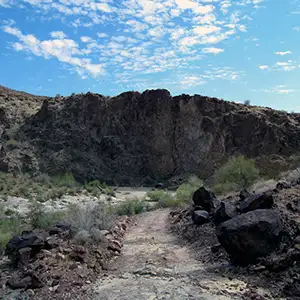
Near the edge of the wilderness
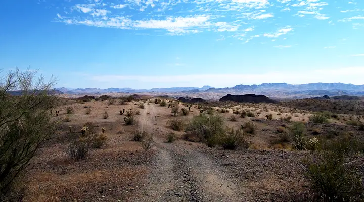
Along the Swansea Road
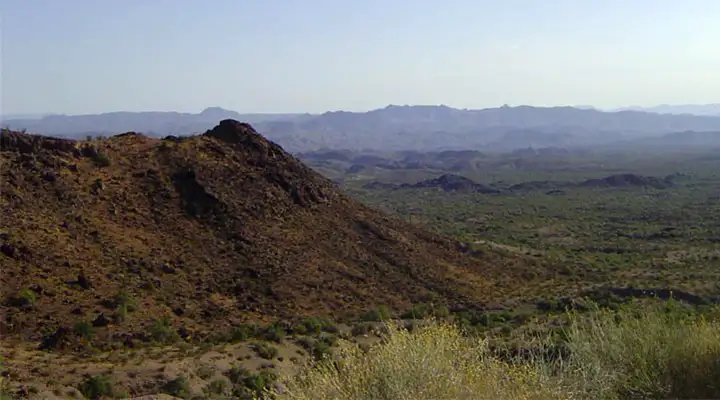
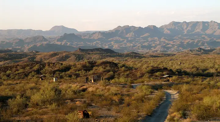
Looking over the Swansea Wilderness area
Upper photos of Swansea Wilderness courtesy of Chazz Layne, CCA-by-SA 2.0 License
Bottom photo courtesy of the Wilderness Land Trust
Map courtesy of National Geographic Topo!
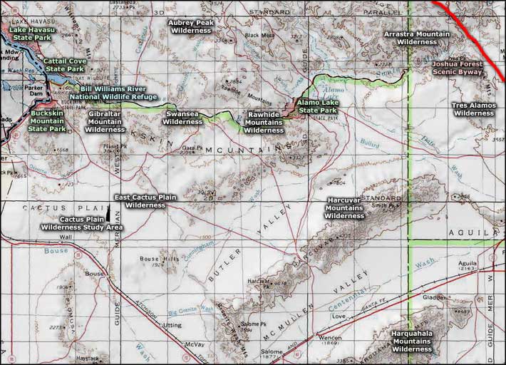
Related Pages
Alamo Lake State Park
Arrastra Mountain Wilderness
Aubrey Peak Wilderness
Bill Williams River National Wildlife Refuge
Buckskin Mountain State Park
Arrastra Mountain Wilderness
Aubrey Peak Wilderness
Bill Williams River National Wildlife Refuge
Buckskin Mountain State Park
Map courtesy of National Geographic Topo!