Centennial Mountains
In the Centennial Mountains
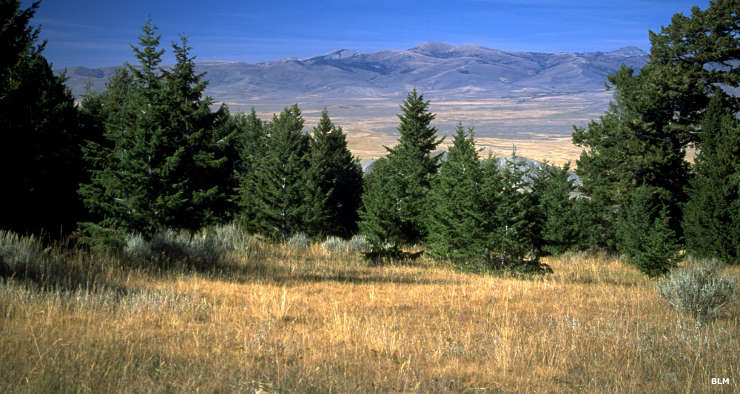
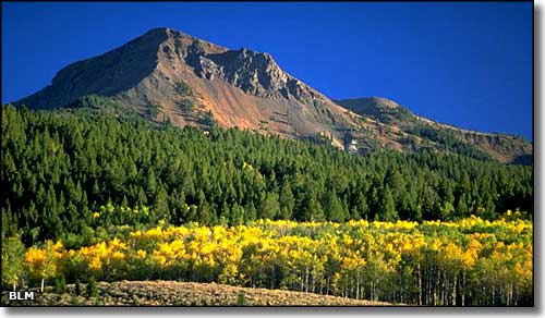
The 28,000-acre Centennial Mountain Range is some of Montana's wildest and most rugged countryside. This is an east-west mountain range connecting the northern Rocky Mountains with the Greater Yellowstone Ecosystem along the Idaho-Montana border (technically, the Centennial Mountains are the southernmost sub-range of the Bitterroot Mountains). You'll find lots of mule deer, elk, moose, badger, black bear, wolverine, grizzly bear, gray wolf and many different bird species here. Adjoining the Centennial Mountains on the north side is the Red Rock Lakes National Wildlife Refuge, a favorite stop for migrating trumpeter swans and other waterfowl. Red Rock Lakes National Wildlife Refuge is in the Centennial Valley, a broad, empty, almost barren swampy area from which the Centennial Mountains rise very abruptly, dominating the southern skyline. The Idaho side has a much gentler rise than the Montana side, consequently, the Idaho side has seen much heavier logging than the Montana side. The forest here is mostly Douglas fir, although the fir is in serious trouble since the 2000-2005 drought weakened the trees enough that many are now dying from a heavy infestation of Douglas fir bark beetle.
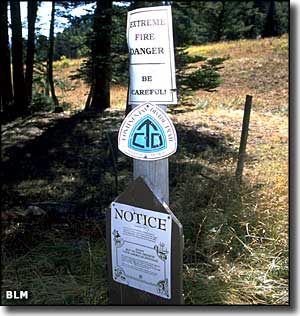
About 60 miles of the Continental Divide National Scenic Trail runs through these mountains. In this area, the Continental Divide National Scenic Trail is usually well-maintained, but avalanches, rock slides, etc. can happen at any time and things change quickly. There are several side trails from both the Montana and Idaho sides that give access to the Continental Divide Trail. One thing to watch out for on the CDNST is the Sheep Experiment Station of the US Agricultural Research Service: the guard dogs on that property are very protective of their sheep herds and very aggressive toward any unleashed domestic dogs they come across.
While hiking, camping, fishing, horseback riding, photography and wildlife viewing are allowed pretty much everywhere, mountain biking and snowmobiling is restricted to roads that allow motorized vehicles. You'll find signed trail heads at Red Rock Pass, Nemesis Mountain and Tipton-Winslow.
To get to the Centennial Mountains: at the Idaho-Montana border on the I-15 is the town of Monida. Heading east across the northern part of the Centennial Mountains area from Monida is County Road 509. Once you cross Red Rock Pass, you'll be entering Idaho and the Targhee National Forest. While the Centennial Mountains are open to the public year-round, CR 509 does not get plowed in the winter and may be impassable in wet weather. Except for some short access roads leading off the county road, most of the Centennial Mountain Range is closed to motorized traffic all year long.
Brower Spring, the furthest-most source of the Missouri River, is located in the Centennial Mountains at 9,030' in elevation, about 500' above and almost half-a-mile away from Red Rock Creek. The spot is about 0.4 miles southwest (as the crow flies) of the nearest point on the Continental Divide and is marked by a rock pile. From that point, it is 298 miles to the official beginning of the Missouri River itself near Three Forks, Montana.
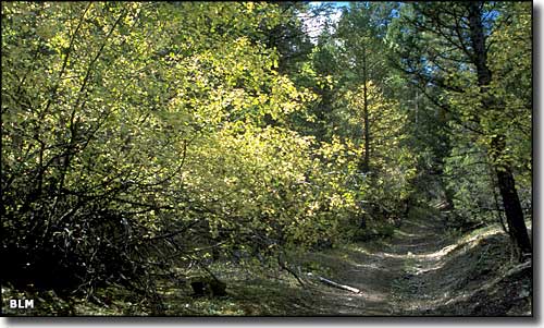
An old road in the Centennial Mountains
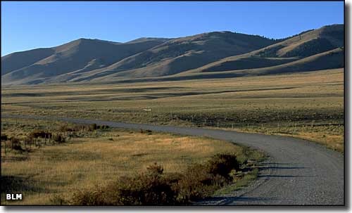
Looking across the Centennial Valley to the north
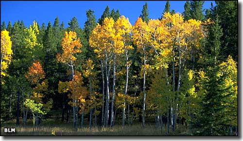
In the Centennial Valley
Centennial Mountains photos courtesy of the Bureau of Land Management
Related Pages
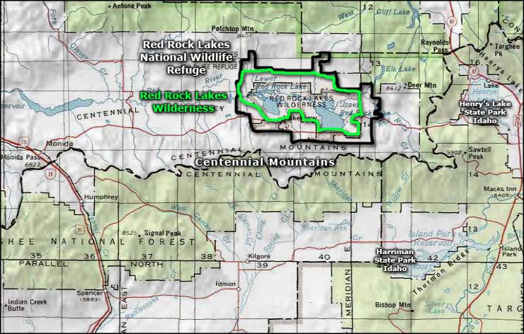
Map courtesy of National Geographic Topo!