Redfield Canyon Wilderness

Redfield Canyon Wilderness

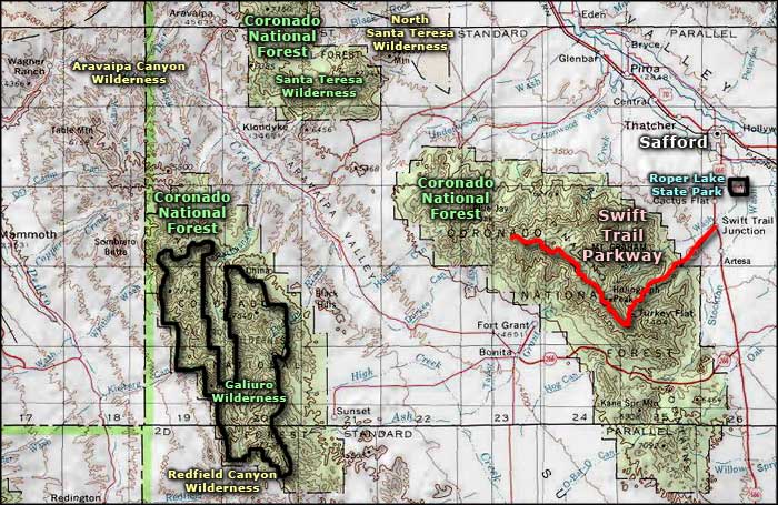
Redfield Canyon Wilderness is a 6,600-acre property that abuts the southern edge of the Galiuro Wilderness at the edge of Coronado National Forest.
Redfield Canyon itself is a narrow, red-walled chasm dominated by tall cliffs. There are several side canyons in the wilderness area and a couple of them offer small perennial streams. The Galiuro Escarpment rises on the eastern side of the wilderness, a typical example of the fault-block development that characterizes most of the Basin and Range Province.
There are no established trails in Redfield Canyon Wilderness: hiking is reasonably easy in the bottom of the canyons except where the riparian growth is too thick.
Redfield Canyon is too remote and hard to access to draw many rock climbers to the imposing cliffs. There is also a problem of private property being included inside the wilderness boundary: you need permission to access anything beyond the private property.
To get there: Exit Interstate 10 at Willcox (exit 340) and drive 32 miles north to Muleshoe Ranch. Muleshoe Ranch is a Nature Conservancy property. You'll need to register with them before accessing the 4WD Jackson Cabin Road that leads to Redfield Canyon Wilderness.
7.5-Minute Topo Maps: Cherry Spring Peak, The Mesas

Upper photos courtesy of San Pedro River Valley.org
Lower photo courtesy of the Bureau of Land Management
Map courtesy of National Geographic Topo!
Related Pages
Map courtesy of National Geographic Topo!