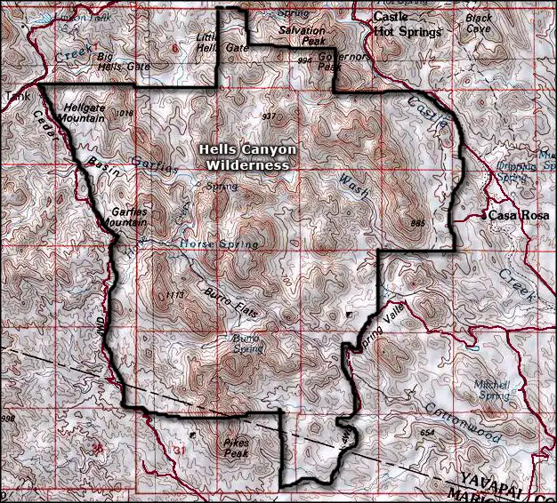
Hells Canyon Wilderness
Down in Hells Canyon Wilderness
Hells Canyon Wilderness is a 9,951-acre property in the heart of the Hieroglyphic Mountains of north-central Arizona. Public access to the property is only on the western side of the wilderness: the other three sides all abut private properties.
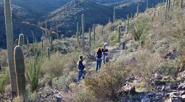
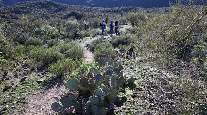
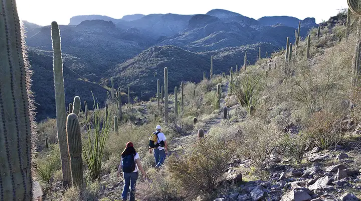
Most folks visit Hells Canyon Wilderness to take a walk in the canyon bottoms, where the walking is easiest. The slopes rising from the canyon bottoms tend to be very steep and rocky or downright cliff-face. Some of those cliffs do attract rock climbers. There are also numerous peaks in Hells Canyon Wilderness that pass 3,000 feet in height. The most prominent are Hellgate Mountain (3,339') and Garfias Mountain (3,381'). In the heart of the property is Burro Flats, almost completely surrounded by the higher peaks.
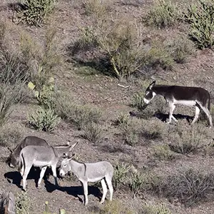
This property is in a mountain range in the Sonoran Desert: the vegetation will be saguaro, cholla, paloverde, ocotillo and cresote-bush/mesquite chaparral. There will be the usual assortment of small mammals and large reptiles, plus perhaps, a few desert bighorn sheep. Primitive camping sites are everywhere.
To get there: Take State Route 74 west from Interstate 17 to Castle Hot Springs Road (at the Lake Pleasant Regional Park Turnoff). Turn right and go north on that looking for Cedar Basin Road. Cedar Basin Road runs along the southern and western boundaries of Hells Canyon Wilderness and offers open public access to the property. The road is very rough and you'll probably prefer making the ride in a high-clearance 4WD vehicle.
7.5-minute Topo Maps: Governors Peak, Garfias Mountain
Headed for Burro Flats
In the heart of the wilderness
Photos courtesy of the Bureau of Land Management
Map courtesy of National Geographic Topo!
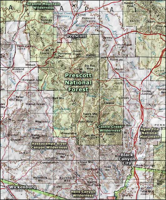
Related Pages
Map courtesy of National Geographic Topo!