Cedar Breaks Scenic Byway
North View Overlook at Cedar Breaks National Monument
Click on the image to see a larger version
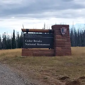
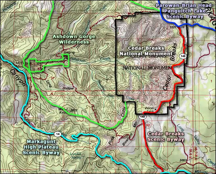
Cedar Breaks Scenic Byway (along Utah Highway 148) is only six miles long and runs between U-14 (the Markagunt High Plateau Scenic Byway) and U-143 (Brian Head Scenic Bwyay/Utah's Patchwork Parkway). The byway gives access to the upper rim of Cedar Breaks National Monument and the Visitor Center.
The upper rim of Cedar Breaks rises above 10,000' in elevation, so winter sees this road closed with a locked gate at the intersection with U-143 and another at the southern boundary of Cedar Breaks National Monument. Just over the hills to the north (off U-143) is Brian Head Ski Resort.
Cedar Breaks National Monument drops to the west into Ashdown Gorge Wilderness. To the east and south is the Markagunt Plateau, a major portion of which is included in Dixie National Forest. The scenic byway follows a path very close to the eastern edge of the monument, almost against the national forest boundary. There are a couple Forest Service roads leading east from the pavement and most of the tree cover to be seen is off the monument property.
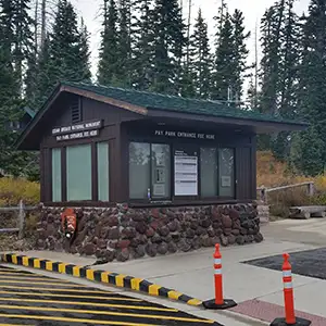
The visitor's kiosk
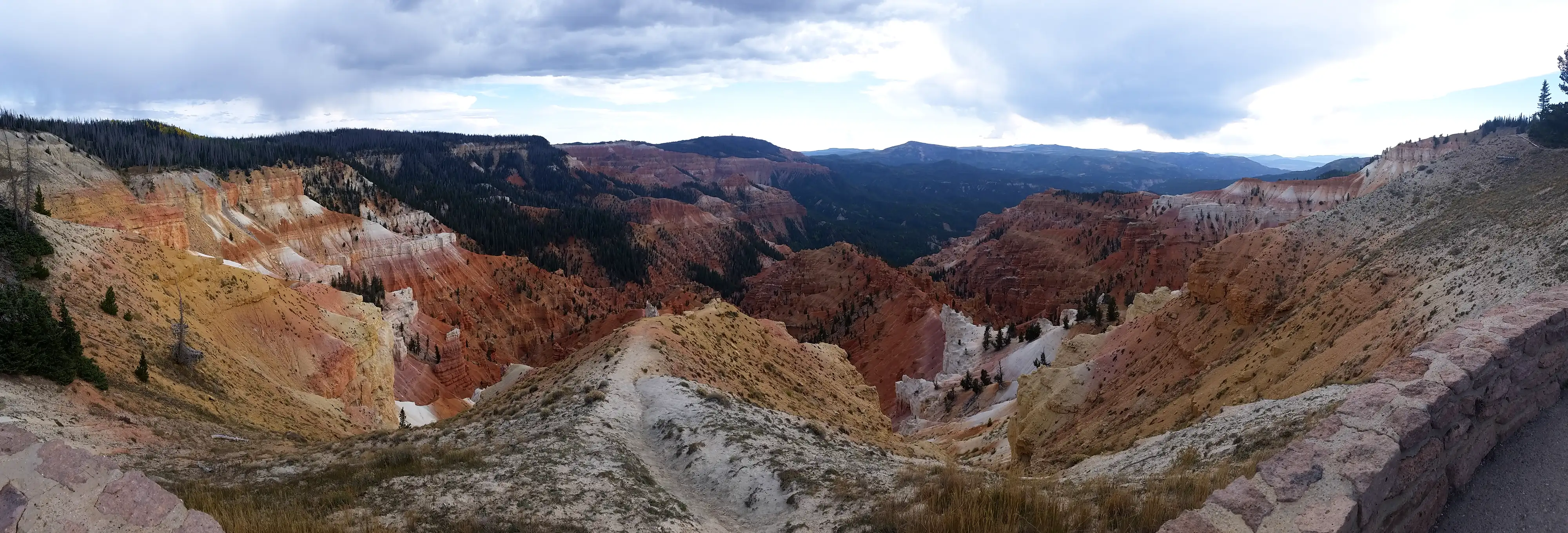
Cedar Breaks was created by geological uplift and millions of years of wind and water erosion since. Along the byway you'll find access to trailheads and to several scenic overlooks, each presenting the national monument from a different perspective. The upper levels are heavily treed with firs, pines, spruces and aspen, except for those areas of multi-colored rock in the 3-mile-long amphitheater where the elevation drops 2,000 feet very quickly. The lower areas are treed mostly in pinyon pine and Utah juniper with a mix of sagebrush and chaparral in between.
Because of the elevation and clarity of the air, you can easily see into Nevada and Arizona from the top of the hill.
Update 2015: I drove the Cedar Breaks Scenic Byway late in the afternoon on a weekday in late September. It wasn't that late in the afternoon but the scenes were darkened by the thunderclouds overhead, and it did rain a bit while I was there. The aspens and oaks were in color, the views over Cedar Breaks were very good and the air was clearly getting cold as the sun got closer to the horizon.

A view right off the road along the Cedar Breaks Scenic Byway
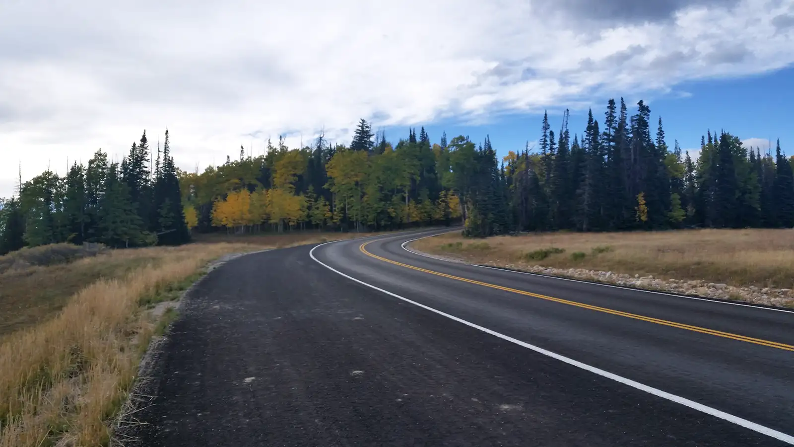
Aspens in color along the route

White, red and pink cliffs, spires and hoodoos along the Cedar Breaks Scenic Byway

Looking down into the cliffs, spires and hoodoos
Cedar Breaks Scenic Byway
Photos courtesy of TheArmchairExplorer, CCA-by-SA 4.0 License
Map courtesy of National Geographic Topo!
Map courtesy of National Geographic Topo!
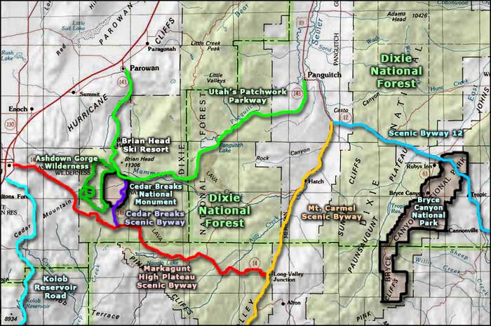
Related Pages
Map courtesy of National Geographic Topo!