Maine - The Pine Tree State
The first European settlers in Maine tried to set up fishing villages along the coast starting in the 1620's. Between the climate and resistance from the local Native Americans, the folks didn't do well at all. By 1700, there were only a few small settlements clinging to life along the coast. In those days, Maine was a "red-headed, left-handed stepchild" province of Massachusetts and remained that way until the Missouri Compromise of 1820. The population had been growing slowly over the years, mostly in far south Maine, but it was the political necessity of balancing slave states with free states that helped Maine become a state on its own.
Aroostook County in north Maine, with 6,829 square miles is one of the 40 largest counties in the United States.

Fast Facts about Maine
Capital: Augusta
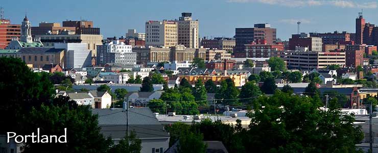
Largest City: Portland
Became a State: March 15, 1820 : 23rd
Largest City: Portland
Became a State: March 15, 1820 : 23rd
Area: 35,385 square miles : 39th
Highest Point: Mount Katahdin : 5,268'
Lowest Point: Atlantic Ocean : 0'
Highest Point: Mount Katahdin : 5,268'
Lowest Point: Atlantic Ocean : 0'
2020 Maine Population Demographics
Total Population
1,363,177
Males
671,997
Females
691,180
Population by Age
Under 18
254,578
18 & over
1,108,599
20-24
74,740
25-34
163,738
35-49
242,710
50-64
307,085
65 & over
288,351
Population by Ethnicity
Hispanic or Latino
26,636
Non Hispanic or Latino
1,336,541
Population by Race
White
1,285,835
African-American
24,020
Asian
18,006
Native American
9,640
Hawaiian or Pacific Islander
501
Two or more
25,175
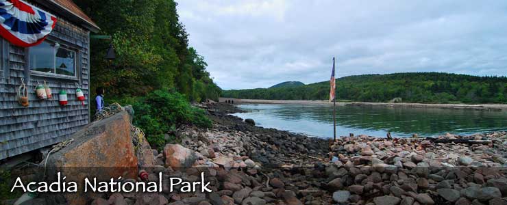
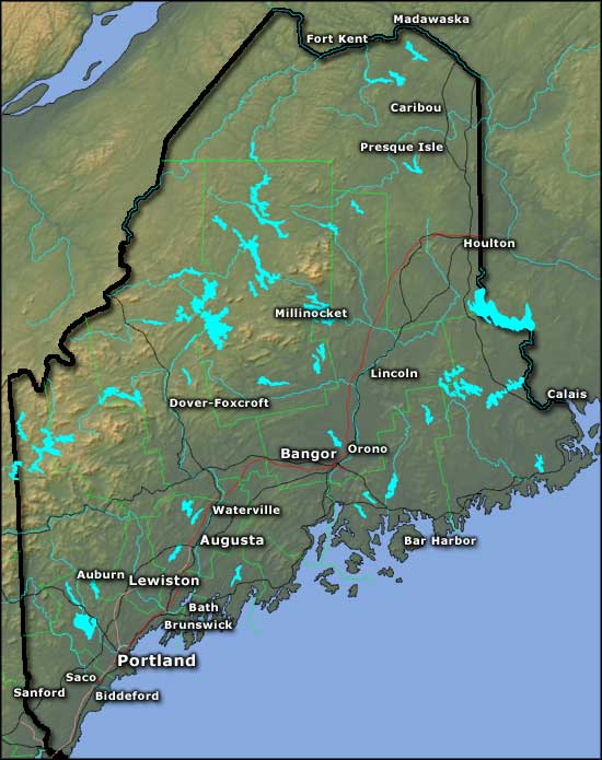

Photo of downtown Portland courtesy of Jeffrey B. Ferland, CCA-by-SA 2.5 License
Photo of Acadia National Park courtesy of Wikipedia userid chensiyuan, CCA-by-SA 3.0 License
Map courtesy of Cartesia MapArt US Terrain