Nebraska - The Cornhusker State
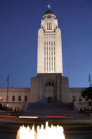
Nebraska State Capitol
"Where the West Begins" is a former state slogan of Nebraska. For many years in the 1800's, thousands of people were trudging westward across Nebraska, following the great river valleys of the Platte and North Platte on their way to more exotic places like California, Oregon and Utah. In those days, the Nebraska Territory was considered part of the Great American Desert. These days, Nebraska is one of the leading farming and ranching states in the country.
Kansas Territory and Nebraska Territory were created by the Kansas-Nebraska Act of 1854. The territories were divided along the 40th parallel north and the Nebraska capital was in Omaha. On January 1, 1863, the Homestead Act came into effect and the first set of homestead papers were filed that morning on a 160-acre tract just west of what is now Beatrice, Nebraska. By the time the Homestead Act was finally repealed in 1976, more than 270 million acres of government land had been claimed for free by settlers willing to move to where the free land was and jump through the hoops necessary to make that land their own. Nebraska was one of the early stops in this process.
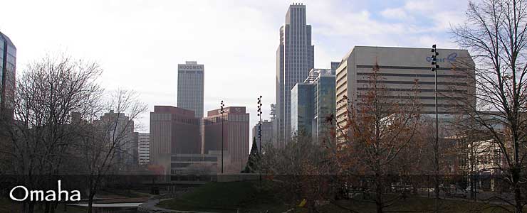
By 1867, Nebraska had grown enough that it applied for statehood and was accepted. That's when the state capitol was moved from Omaha to a town named Lancaster. Shortly after that, Lancaster was rechristened Lincoln, in honor of the recently assassinated President.
Most of Nebraska is essentially treeless so it's interesting that the Arbor Day "holiday" started in Nebraska and the National Arbor Day Foundation is still headquartered in Nebraska City. Nebraska is also home to America's largest hand-planted National Forest and has a tree nursery so prolific it sends seedlings to many other parts of the country.
The state is crossed from west to east by three rivers: the Republican River in the south, the Platte River in the heart and the Niobrara River in the north. As you travel west across Nebraska, the elevation keeps rising, but the highest point in the state is an unremarkable small rise near the Colorado and Wyoming borders.
Note: Some of the photos in this Nebraska section of TheArmchairExplorer.com come from the good folks at the Nebraska Department of Travel and Tourism. TheArmchairExplorer.com is neither endorsed by nor affiliated with that Department but we are indebted for the excellent photos.
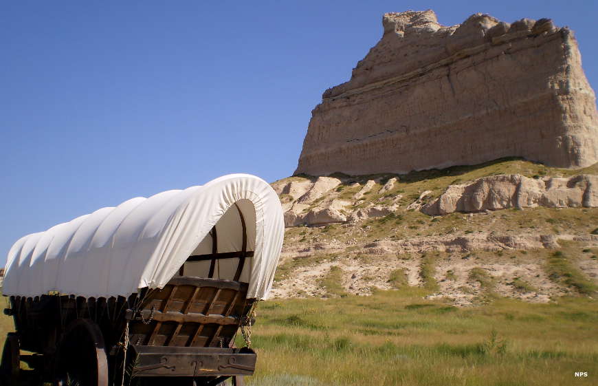
Scotts Bluff, on the Emigrant Trail
Fast Facts about Nebraska
Capital: Lincoln
Largest City: Omaha
Became a State: March 1, 1867 : 37th
Largest City: Omaha
Became a State: March 1, 1867 : 37th
Area: 77,421 square miles : 16th
Highest Point: Panorama Point : 5,424'
Lowest Point: Missouri River : 840'
Highest Point: Panorama Point : 5,424'
Lowest Point: Missouri River : 840'
2020 Nebraska Population Demographics
Total Population
1,961,965
Males
986,089
Females
975,876
Population by Age
Under 18
488,865
18 & over
1,473,100
20-24
135,139
25-34
255,119
35-49
362,446
50-64
354,116
65 & over
312,347
Population by Ethnicity
Hispanic or Latino
234,819
Non Hispanic or Latino
1,727,146
Population by Race
White
1,724,010
African-American
103,799
Asian
53,983
Native American
31,158
Hawaiian or Pacific Islander
2,546
Two or more
46,469
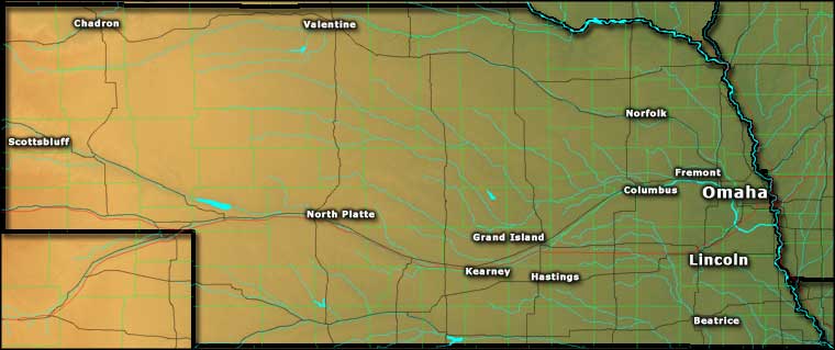
Photo of Nebraska State Capitol courtesy of Matthew Trump © 2004, CCA-by-SA 3.0 License
Photo of Scotts Bluff with covered wagon courtesy of Wikipedia userid Podruznik
Map courtesy of Cartesia MapArt US Terrain