Capulin Volcano National Monument
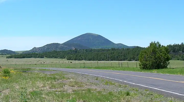
Capulin Volcano, from a few miles to the north
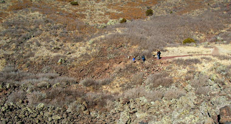
Capulin Volcano is one of the few places in the world where you can safely walk into the mouth of a volcano. A 2-mile road spirals to the summit, ending at a parking area where two self-guided trails begin. One trail, 0.2 miles long, goes to the vent at the bottom of the crater and gives you an opportunity to see the hardened inside of a volcano. The second is the Crater Rim Trail, one mile long, a self-guiding path that encircles the rim. This trail begins with a moderate climb (the highest point is 300 feet above the parking area). Once on the rim you will find the going fairly easy until you begin the descent to the parking lot. From the trail you can look to the southwest where the Cimarron Cutoff of the Santa Fe Trail passed. During the late 19th century, wagon trains bound for Fort Union traveled past the volcano from the northeast over the Fort Union-Granada Road. The view westward is particularly magnificent. The majestic, snow-capped Sangre de Cristo Mountains form a mighty backdrop to the wide expanse of rangeland, broken by volcanic hills and mesas. Be sure to hike both trails. It's not often that you can walk so brazenly in a volcano.
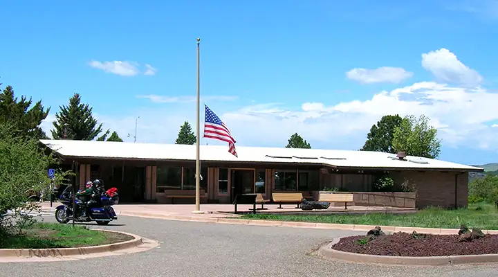
The Capulin Volcano National Monument Visitor Center
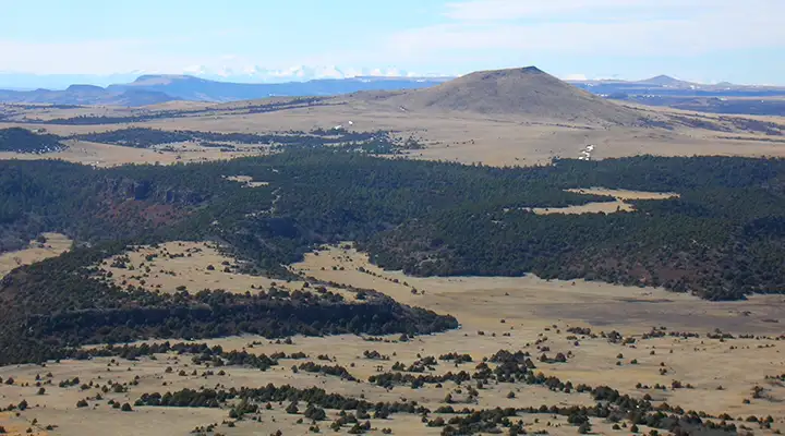
The view to the west, Sangre de Cristo Mountains in the distance
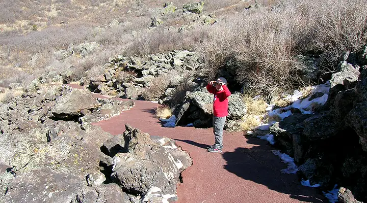
On the way down into the Capulin caldera
Capulin Volcano is the cone of a volcano that was last active about 56,000 to 62,000 years ago. This volcano represents the last stage of a great period of volcanism that had begun about 7 million years earlier. Evidence of this activity can be seen in the scores of nearby volcanic hills and peaks. The largest of these is Sierra Grande, an extinct volcano rising some 2,200 feet above the surrounding plain, about 10 miles to the southeast. To the northwest of Capulin are a number of mesas that are capped with lava, the three largest of which are Barela, Raton and Johnson Mesas.
Lava erupted in four flows, each separated by long periods of inactivity. The last series of eruptions created Capulin Volcano, whose conical form rises more than 1,000 feet above its base to 8,182 feet above sea level. The mountain consists chiefly of loose cinders, ash and other rock debris. These materials were spewed out by successive eruptions and fell back on the vent, piling up to form the conical mound. The lava, though, flowed mostly from a boca (Spanish for mouth) on the lower west side of the cinder cone.
At the bottom of the crater
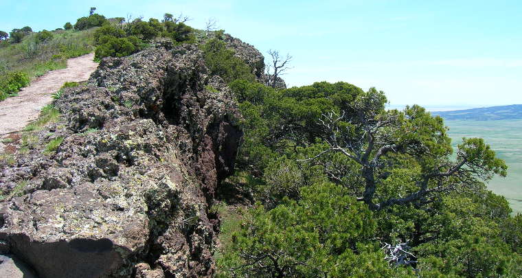
On the trail around the rim of the caldera
Trailers and large RV's are not allowed to climb the mountain. Nor are bicycles, but motorcycles are fine (there were lots of them on that beautiful, sunny Memorial Monday).
Although Capulin Volcano is considered extinct, the Raton-Clayton Volcanic Field that it sits in is considered inactive.
Photos courtesy of TheArmchairExplorer, CCA-by-SA 3.0 License
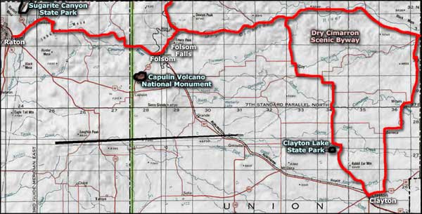
Map is courtesy of the National Park Service
Map is courtesy of the National Park Service
Related Pages
Map courtesy of National Geographic Topo!