Kootenai National Forest
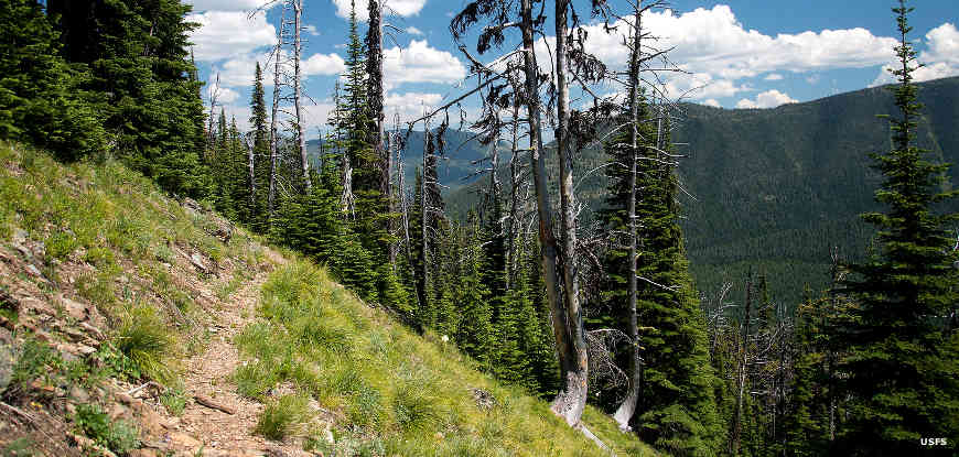
On the Pacific Northwest Trail in the Ten Lakes Scenic Area of Kootenai National Forest

Lake Koocanusa
Of the 2.2 million acres included in the Kootenai National Forest, more than 97% of the land is located in northwestern Montana, with the other less-than-three-per-cent located in northeastern Idaho. All of the Cabinet Mountains Wilderness (93,000 acres) is located on the Kootenai, and Snowshoe Peak in the Cabinets is the highest point on the Kootenai (8,738'). Other mountain ranges on the forest include the Bitterroot, Salish, Purcell and Whitefish.
Kootenai National Forest headquarters is in Libby with local ranger district offices in Fortine, Eureka, Libby, Troy and Trout Creek. The climate in this area is described as a "modified Pacific coast," meaning it's usually a bit cooler here than along the coast of Washington state. However, intrusions of colder Arctic air can often "modify" the winter temperatures down to -30°F (like the rest of Montana) and can bring very heavy snowfall in the area mountains.
The Pacific Northwest National Scenic Trail crosses Kootenai National Forest east/west, connecting the Idaho Panhandle National Forests with Flathead National Forest and Glacier National Park.
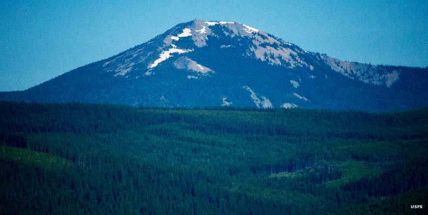
Mt. Henry
Photos courtesy of the US Forest Service