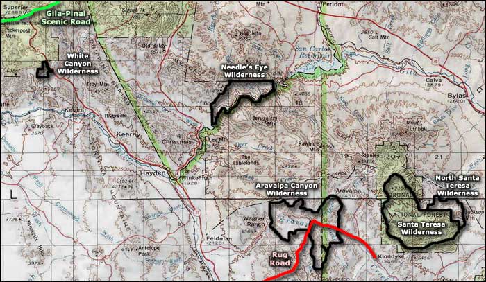
Needles Eye Wilderness
The Gila River Canyon
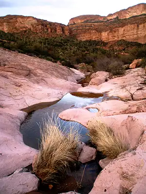
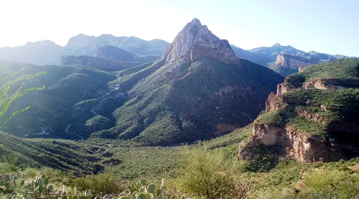
Needles Eye Wilderness is an 8,760-acre property in the Mescal Mountains on the north side of the Gila River downstream from Coolidge Dam. The Gila flows through a narrow defile here where the steep limestone wall rises more than 2,500 feet above the river. There are several small slickrock side canyons in the wilderness but travel, even on the river, is hard because the riparian growth is so thick.
Needles Eye Wilderness is bounded on both north and south by the San Carlos Indian Reservation. To the west are some rugged and roadless BLM lands, to the east is a bunch of private property. Public access is limited to those who can get permission.
If you get a recreation permit from the San Carlos Apache Indian Tribe, you can cross reservation lands east of Globe on Highway 70 and access the Needles Eye Wilderness from either the Coolidge Dam or from Ranch Creek Road. But if you float down the river, the next exit point is Dripping Springs Wash and you'll need advance permission from private landowners and from whoever holds the lease for the State Trust Lands there.
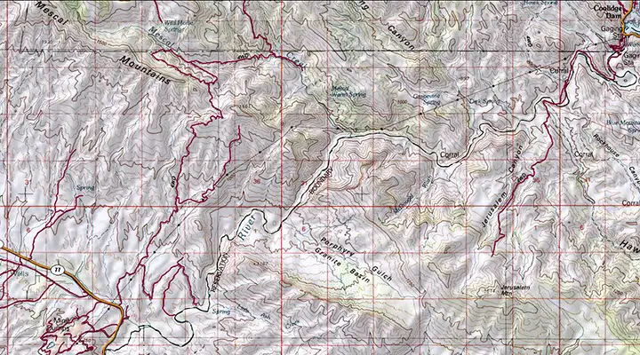
7.5-Minute Topo Maps: Mescal Warm Springs, Coolidge Dam, Christmas
Needles Eye Wilderness
Photos courtesy of the BLM
Map courtesy of National Geographic Topo!
Related Pages
Map courtesy of National Geographic Topo!