Goose Creek Wilderness
Goose Creek Wilderness
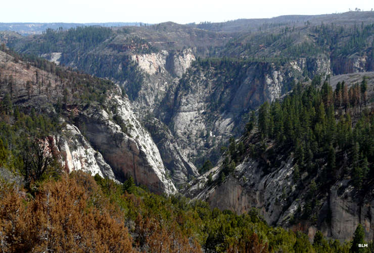
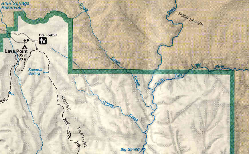
Goose Creek Wilderness is a 98-acre property located near the northeastern corner of Zion National Park, contiguous to Zion Wilderness Area. This is remote and rugged countryside where the elevation differential between the bottom and top of the property is more than 1,000 feet. Two sides of the wilderness are against the national park, the other sides abut private property.
In geological terms, the landform of Goose Creek Wilderness is what remains of the Earth's largest sand dune desert, a leftover from the Jurassic supercontinent Rodinia. Located on the western edge of the Colorado Plateau (pushed up by geological forces some 65 million years ago), Goose Creek itself has eroded its way down through layers of multicolored sandstone. The creek is fed by seeps and springs coming out of the walls of the cliffs, water flowing out from the Navajo aquifer within the softer layers of sandstone. Spring snowmelt combines with that water and has provided enough impetus for the water flow to carve such a deep, steep and narrow canyon.
The vegetation here is typical high altitude desert: dense stands of Utah juniper and pinyon pines above the thick riparian zone that exists along the streambed in the bottom of the canyon. The highest elevations even grow a few Ponderosa pines.
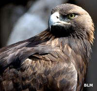
For animals you might see desert bighorn sheep, mule deer, elk, black bear, bobcat, mountain lion, badger, marmot, jackrabbit, kit fox and other small mammals. Among the birds you'll probably see bald eagle and other raptors, chukar partridge, screech owl, wild turkey and Mexican spotted owl. In wetter areas you might come across the endemic Zion snail.
Access to the property is not easy. Most visitors get there by hiking up the stream beds and canyons from further south in Zion Wilderness. Goose Creek itself is a designated Wild & Scenic River (with an emphasis on Wild) with 0.42 miles of stream on BLM land and another 3.45 miles on Zion National Park upstream of the confluence with the North Fork of the Virgin River.
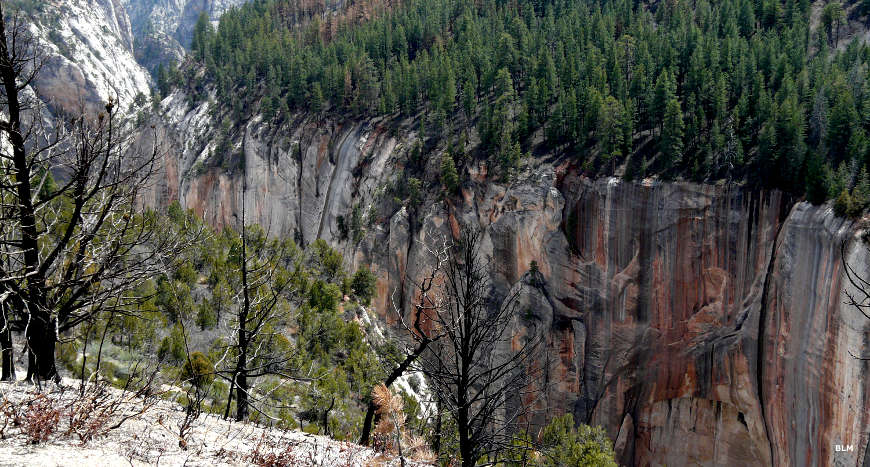
Another view of Goose Creek Canyon
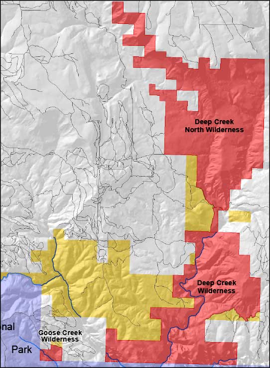
Goose Creek Wild & Scenic River area
Large photos courtesy of Chris Barns, Bureau of Land Management
Upper left photo and shaded map courtesy of the Bureau of Land Management
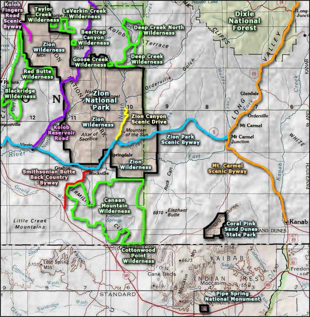
Bottom map courtesy of the National Park Service
Upper left photo and shaded map courtesy of the Bureau of Land Management
Bottom map courtesy of the National Park Service
Related Pages
Beartrap Canyon Wilderness
Blackridge Wilderness
Canaan Mountain Wilderness
Coral Pink Sand Dunes State Park
Cottonwood Point Wilderness
Deep Creek North Wilderness
Deep Creek Wilderness
Blackridge Wilderness
Canaan Mountain Wilderness
Coral Pink Sand Dunes State Park
Cottonwood Point Wilderness
Deep Creek North Wilderness
Deep Creek Wilderness
Map courtesy of National Geographic Topo!