Joshua Forest Scenic Byway
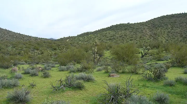
Typical Sonoran desert scenery along the southern part of the Joshua Forest Scenic Byway
The Joshua Forest Scenic Byway (Parkway, Road - depending on which map you're looking at) runs along US Highway 93 for 54 miles between Wickenburg and Wikieup. This is the area where the Mohave desert to the north meets the Sonoran Desert to the south. The biggest change you'll see is in the vegetation: the Mohave has more Joshua trees, the Sonoran more saguaros. But in this area, the line is somewhat blurred and you'll find saguaros in the lower areas, Joshua trees above and a mix in the middle.
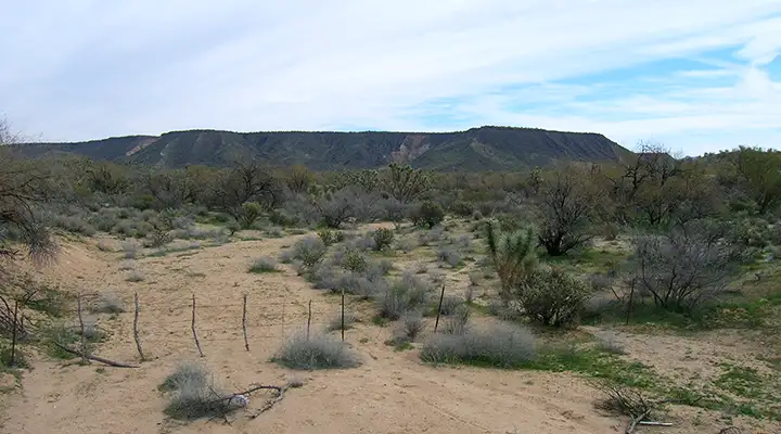
The Joshua Forest Scenic Byway rises from Wickenburg, crosses over a high point of granitic hills with black basalt cliffs running off into the distance on both sides of the road and then descends a bit into Wikieup. There are flat-topped mesas and ranges of jagged mountains all along the way.
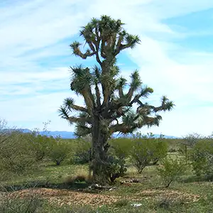
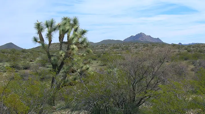
Just a few miles north of Wickenburg you'll start seeing lone Joshua trees mixed among the saguaros, ocotillos, cholla and creosotebush. As the elevation rises, the saguaros fade out, leaving larger clumps of Joshua trees. Then you come to a great view to the west of the Sawyer Peak monolith at Tres Alamos Wilderness. A few more miles and the black lava cliffs of Arrastra Mountain Wilderness rise to the west. The hills to the east seem a bit more gentle but once you cross the Santa Maria Wash, it's rugged to the east, too, with big piles of granite boulders everywhere. Then the boulder piles give way to majestic sweeps of volcanic ridges and mountains: the Aquarius Mountains to the east, the Hualapai Mountains to the west. Then you arrive in the small town of Wikieup.
There'll be ocotillo, prickly pear and cholla along the way but everywhere you're going to see creosotebush as that hardy plant seems intent on taking over everything in the countryside (but I guess a name like "Creosotebush Scenic Highway" isn't as romantic). This is another of those scenic byways that I've driven a few times.
Just out of Wickenburg, starting to get into the Joshua trees
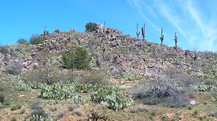
Joshua trees, creosotebush and ragged mountains: typical Mohave/northern Sonoran desert
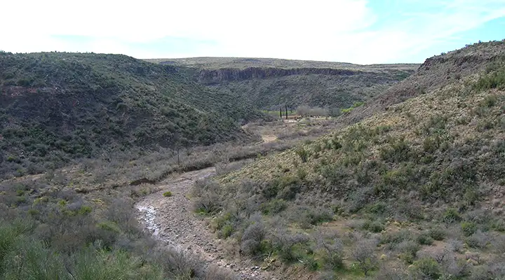
A typical wash in the area, note the lava caprock
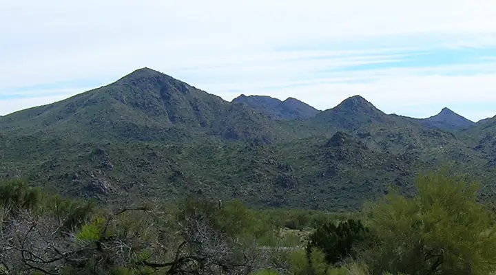
Aquarius Mountains to the east
Almost to Wikieup
Related Pages
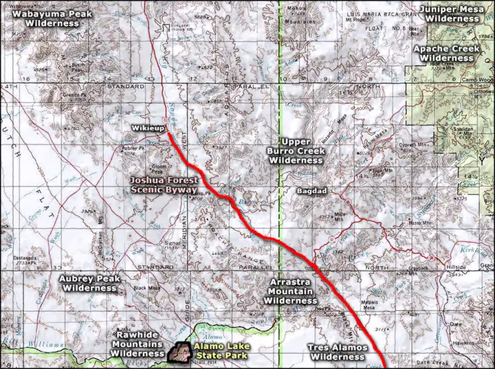
Map courtesy of National Geographic Topo!