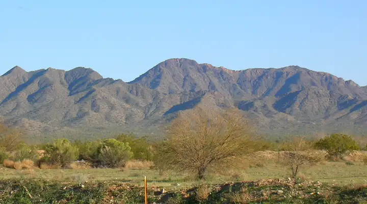
Harquahala Mountains Wilderness
Harquahala Mountains Wilderness
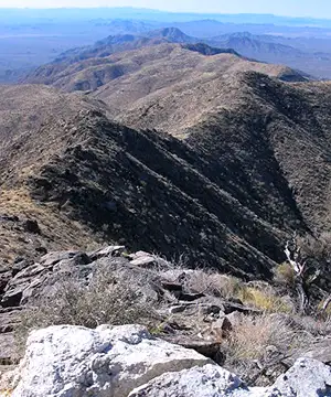 Top ridgeline of the Harquahala Mountains
The Harquahala Mountains are one of the largest and highest mountain ranges in southwestern Arizona. At 5,691', Harquahala Peak is the highest point in that part of the state. The Harquahala Mountains Wilderness contains some 22,880 acres to the east and north of Harquahala Peak. Also contained within the wilderness acreage are a couple of "screened" canyon systems: these are interior canyons with distinctly different ecosystems from the surrounding Sonoran desert landscape. One of these canyons even has a large "island" of interior chaparral, another a large area of open desert grassland.
The upper mountain ridgeline is high enough to attract snowfall in the winter. These mountains also have several springs and seeps scattered through them, enough to support small, almost riparian areas with their own drainage systems. There's also enough water to support mule deer, desert bighorn sheep, cougar, bobcat, coyote and jackrabbit.
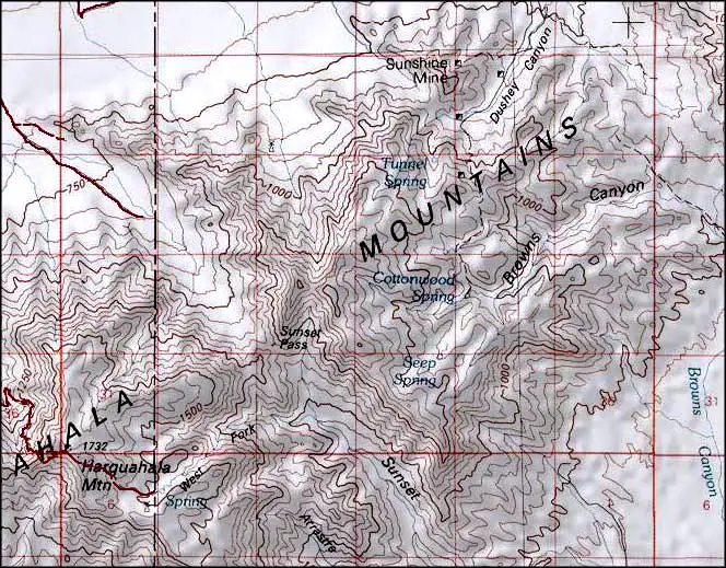
Access to the Harquahala Mountains Wilderness is usually achieved via any of several 4WD jeep trails that go south from Highway 60 or north from Eagle Eye Road. One of those trails going south from Highway 60 leads to a parking area near the wilderness boundary, an area that was originally used as a staging area back in the days when the Smithsonian Institute ran a solar observatory on the summit of Harquahala Peak. The trail leading up the hill from there is an old mule pack train trail so the angle of it isn't too bad.
The upper ridgeline of the Harquahalas can be very windy, especially in the afternoon. If you make the climb you might also want to be sure and get back down off the hill before dark sets in. One thing to be careful of is the private property the wilderness is surrounded by. Probably the worst time to visit is summer, but if it's been a wet winter, the spring wildflower display can be incredible.
Harquahala Peak was once the home of a Smithsonian Institute astronomical/solar observatory. The ruins of the installation are still there, accessible via the rough Harquahala Mountain Backcountry Byway. Views from the summit are kinda breath-taking: all that desert spread out below and all those mountain ranges fading off into the distance...
Harquahala Mountains Wilderness
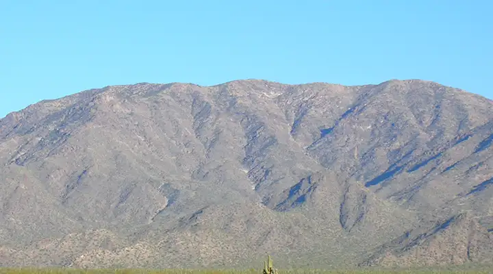
North end of the Harquahala Mountains Wilderness
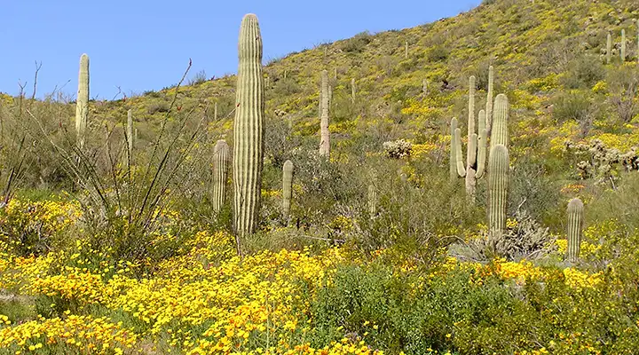
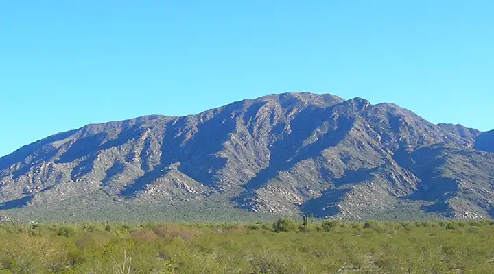
Typical spring vegetation in the lower reaches of Harquahala Mountains Wilderness
Upper left and bottom photo courtesy of the Bureau of Land Management
Other photos courtesy of TheArmchairExplorer, CCA-by-SA 4.0 License
Map courtesy of National Geographic Topo!
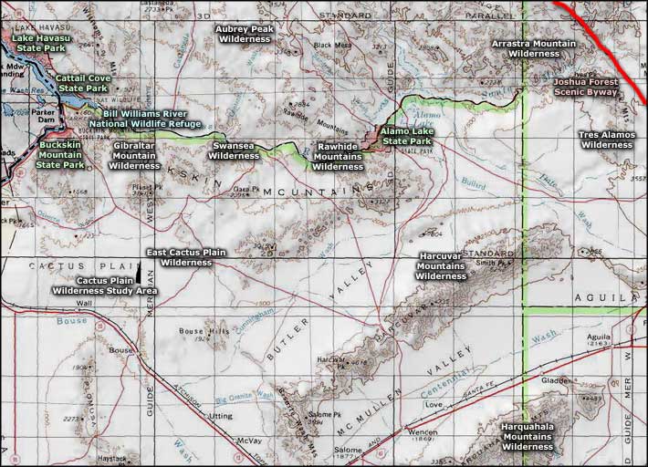
Related Pages
Alamo Lake State Park
Arrastra Mountain Wilderness
Aubrey Peak Wilderness
Bill Williams River National Wildlife Refuge
Buckskin Mountain State Park
Arrastra Mountain Wilderness
Aubrey Peak Wilderness
Bill Williams River National Wildlife Refuge
Buckskin Mountain State Park
Map courtesy of National Geographic Topo!