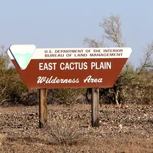
East Cactus Plain Wilderness
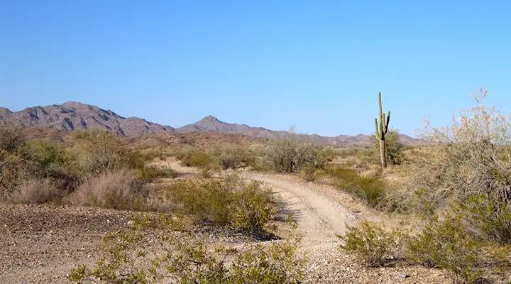
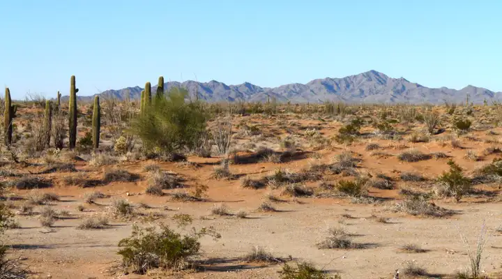
Along the Swansea Road near East Cactus Plain Wilderness
East Cactus Plain Wilderness is located in La Paz County, about 10 miles north of Bouse via the Swansea Road. The 14,630-acre property includes the eastern third of the whole Cactus Plain (most of the western two-thirds is part of the Cactus Plain Wilderness Study Area). The topography consists of a series of intricate crescent dunes that are heavily vegetated (for a desert area) with a very species-diverse dune scrub. The plant and animal community at East Cactus Plain Wilderness is like no other plant community in Arizona: sand flat milk vetch, linerleaf sand splurge, Death Valley Mormon tea, and woolly heads, plus the flat-tailed horned lizard, Mojave Desert fringe-toed lizard and the elf owl.
Bring plenty of your own water, a compass or GPS device and a good map: there are no established trails on this property but the topography and the sand washes make getting around easy enough. Most folks come to East Cactus Plain for horseback riding and backpacking trips. Some come to study the wildlife and plant community, some for sightseeing and photographic pursuits. Wildlife on the property is mostly limited to jackrabbit, western diamondback rattlesnake, coyote, kangaroo rat and various forms of reptile. Water availability? Only if it's raining... and sometimes the river is running down beyond Swansea but don't count on it.
This is a barren, pinkish-colored landscape that you'll mostly likely prefer to visit early in the morning or late in the afternoon (and between October and April).
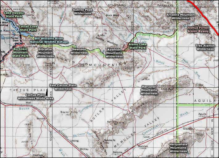
The Swansea Road heads northeast off State Route 72 from Bouse and defines the southeast boundary of East Cactus Plain Wilderness. Near the northeast corner of the property is a power-line maintenance road that travels northwest and defines the northeast boundary. The wilderness boundary is actually set back from the roads a short distance with regular signage in place. The Swansea Road is maintained well enough that a 2WD vehicle with a bit of clearance should have no problem getting to the access points for East Cactus Plain Wilderness, as long as it's not raining...
7.5-minute topo map: Powerline Well
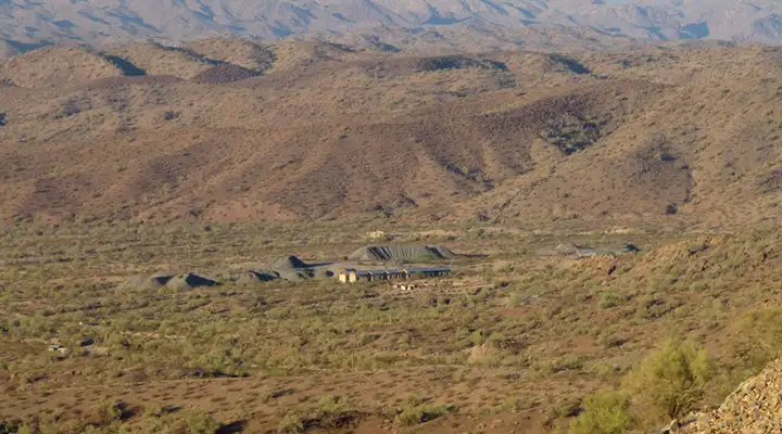
Swansea, just beyond the northeastern edge of the East Cactus Plain Wilderness
East Cactus Plain Wilderness
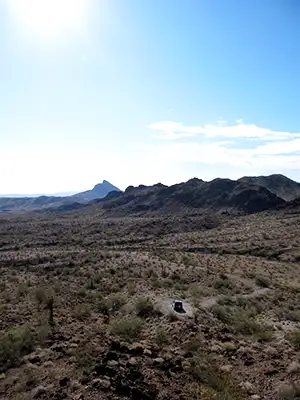
Bottom photo courtesy of Chris Barns, BLM
Other photos courtesy of Chazz Layne, CCA-by-SA 2.0 License
Related Pages
Alamo Lake State Park
Arrastra Mountain Wilderness
Aubrey Peak Wilderness
Bill Williams River National Wildlife Refuge
Buckskin Mountain State Park
Arrastra Mountain Wilderness
Aubrey Peak Wilderness
Bill Williams River National Wildlife Refuge
Buckskin Mountain State Park
Map courtesy of National Geographic Topo!