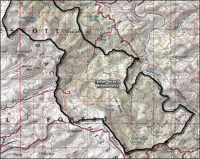
Cedar Bench Wilderness
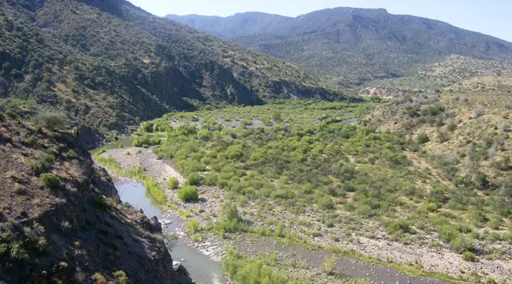
The Verde Wild and Scenic River runs along the eastern boundary of Cedar Bench Wilderness
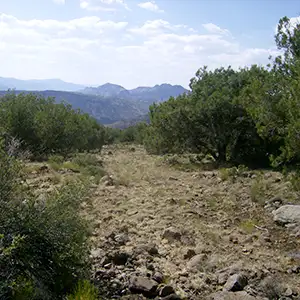
Cedar Bench Wilderness is a 14,950-acre property on the eastern hillsides at the edge of the Mogollon Rim that divide the Verde River drainage from the Agua Fria River drainage. Elevations range from about 4,500 feet to about 6,700 feet. The lower areas tend to be covered with a chaparral of mesquite, mountain mahogany, manzanita, scrub oak and catclaw with the higher elevations covered in juniper and pinion pine. Of all the wilderness inventory on Prescott National Forest, Cedar Bench Wilderness is the least visited by humans.
Part of the eastern boundary of Cedar Bench Wilderness is along the western banks of the Verde River in the area where it is designated a Wild and Scenic River. Across the valley to the southeast is the Mazatzal Wilderness. The Verde River is navigable only by the more experienced whitewater enthusiasts and then only during the height of the spring runoff season: March 1 to maybe May 15, depending on the previous winter's snowfall. Climbing up the slopes of Cedar Bench Wilderness from the river is next to impossible owing to the steepness of the slope.
The name of the property comes from a northwest/southeast trending ridge just below Tule Mesa. The views from the higher reaches of Cedar Bench are spectacular with the red rock of Mazatzal Mountain to the southeast and the vivid colors of the Arizona desert in most other directions.
The Forest Service says there are nine trails for a total of 32 miles on Cedar Bench Wilderness but maintenance is spotty and signage rare. In the northeast corner of the property is Brown's Spring. Brown's Spring serves as the trail head for a couple trails that cross Cedar Bench Wilderness, one east to west, the other north to south. Along the way, these two trails connect with most of the other usable trails on the property.
Photos of Cedar Bench Wilderness courtesy of Are We Lost Yet?
Map courtesy of National Geographic Topo!
Related Pages
Cedar Bench Wilderness
Fort Verde State Historic Park
Fossil Springs Wilderness
Hellsgate Wilderness
Fort Verde State Historic Park
Fossil Springs Wilderness
Hellsgate Wilderness
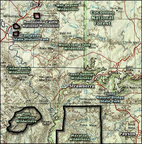
Map courtesy of National Geographic Topo!