Devils Backbone Wilderness
North Fork River
Devils Backbone Wilderness is a 6,595-acre property on Mark Twain National Forest. When the wilderness area was designated in 1980 it was named for a prominent ridge running through the center of the area. Elevations range from a high around 1,020' to a low around 680' on the North Fork River. The forest is a mix of hickories, oaks, shortleaf pines, sugar maple and sweet gum. Wildlife in the area includes white-tailed deer, gray squirrel, coyote, raccoon, gray and red fox, bobcat and striped skunk. There are also great horned owl, wild turkey, turkey vulture, red-tailed hawk, bald eagle, great blue heron, pileated woodpecker and various songbirds, resident and migratory. Among the reptiles hikers will find two poisonous snakes: the copperhead and the eastern timber rattler.
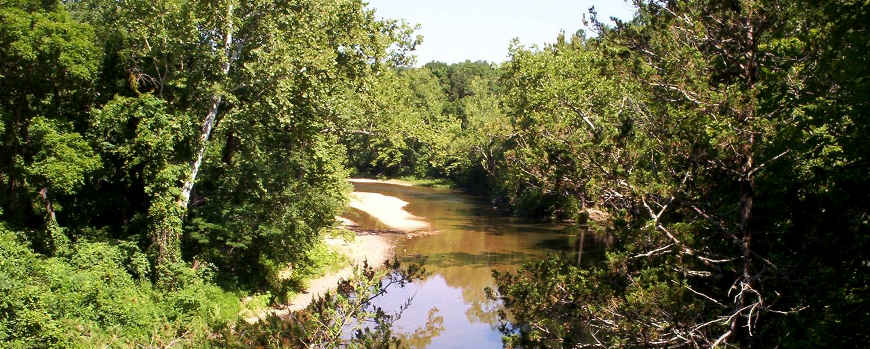
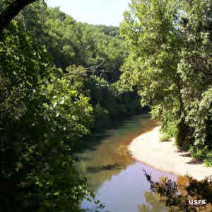
The gem of Devils Backbone Wilderness is the North Fork of the White River, a spring-fed Ozark stream. McGarr Spring, Amber Spring and Blue Spring contribute to the waterflow in the wilderness area.
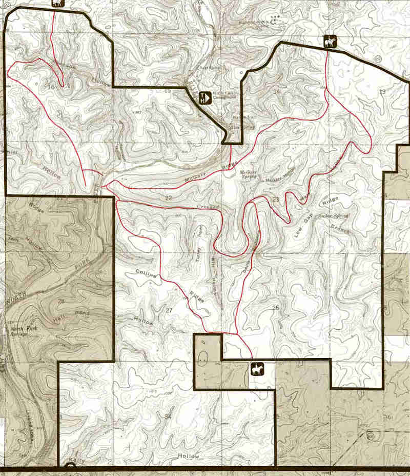
There are 13 miles of maintained foot and horse trails in the wilderness, most following Devils Backbone and/or four other ridges in the area. Most folks seem to access the wilderness from the Blue Springs parking area at the North Fork Recreation Area. Other folks use one or another of three other trailheads: Collins Ridge, McGarr Ridge or Raccoon Hollow. Spring and fall are the best times to visit but they are also the busiest times. Permits are not required but registration at the registration boxes at each trailhead is highly recommended.
Upper photo courtesy of Kale Horton, via Wilderness.net
Upper left photo and map courtesy of the US Forest Service