Apache Creek Wilderness
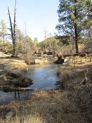
Apache Creek itself
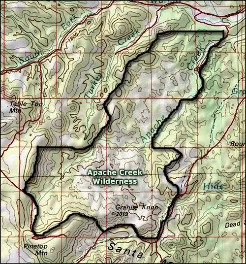
Apache Creek Wilderness is a rugged and remote 5,628-acre property in the southeastern section of the Santa Maria Mountains in the Chino Valley Ranger District of Prescott National Forest. Elevations vary from a low around 5,280 feet to a high around 6,970 feet. The property is forested mostly in juniper, piñon and Ponderosa pine, typical in semi-arid higher elevation countryside. The surrounding hills also contribute to the headwaters of the Verde River.
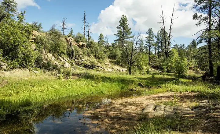
There are three good natural springs that surface in the wilderness and their watercourses are excellent riparian zones supporting large cottonwoods, willows and walnut trees. Apache Creek itself is a relatively stable perennial stream but is not large enough to support a fishery of any sort. One thing to be aware of: granite outcroppings that sometimes restrict the creek into extremely narrow defiles. But there are large granite outcroppings everywhere on the property.
There are plenty of mule deer in the woods, the number of mountain lions around says so. Arizona Game & Fish figures these woods have the highest concentration of mountain lions in the state. Most folks who visit Apache Creek are there for the hunting. Apache Creek Wilderness is surrounded by Forest Service roads but there aren't any designated access points to the wilderness. There are two developed trails but nothing is guaranteed, especially given the funding the Forest Service has for trail construction and maintenance these days. The reports I've seen say to bring a good map, a compass or GPS device and be prepared for lots of bushwhacking to get anywhere.
That said, it appears there is about 6.7 miles of trail in the wilderness and a loop trail is possible, provided you can find all the rock cairns marking it. The Forest Service did a pretty nice job, except in two places. One is at the first stream crossing of Apache Creek, just outside the wilderness boundary. The second (and seemingly lesser problem) is where one trail ends and another one that returns to the origin begins. Should you not come with a high-clearance 4WD, add about 1.2 miles to each side of the hike for a total around 9.1 miles: the Forest Service road included in this is drivable but very rough. The only indicator that you are near the wilderness comes in the form of a "No Motorized Vehicles" sign. There's a faint trail leading into the woods behind it and about 1/3 of a mile in is the wilderness boundary sign and hiker register.
The trail crosses several streams and reaches its high point about 4 miles in. The area hasn't yet been impacted by wildfire but there are several snags along the path attesting to lightning strikes. Juniper Mesa Wilderness is just to the north, across North Fork Creek in the southern Juniper Mountains.
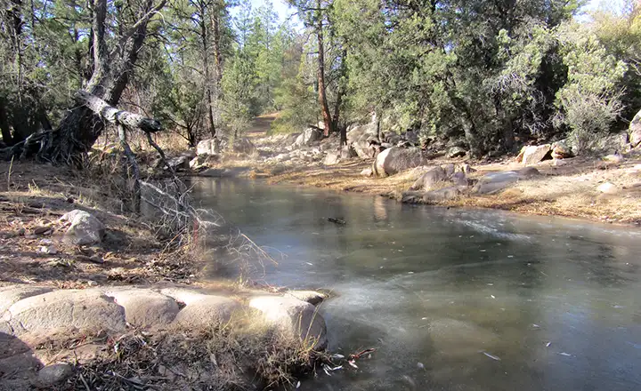
There are several streams to cross along the trail
Apache Creek Wilderness
Upper photo courtesy of Amy Horn
Other photos courtesy of 5enses magazine
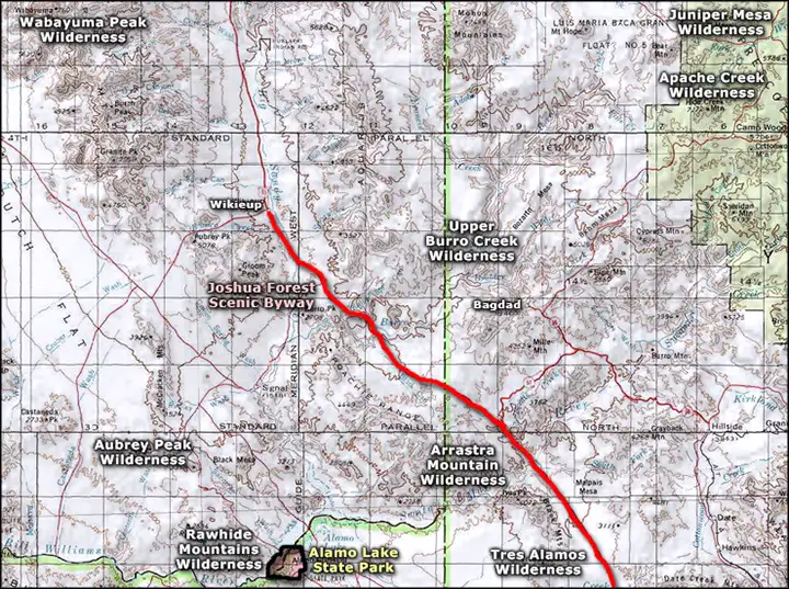
Map courtesy of National Geographic Topo!
Other photos courtesy of 5enses magazine
Map courtesy of National Geographic Topo!
Related Pages
Map courtesy of National Geographic Topo!