Bluestone National Scenic River
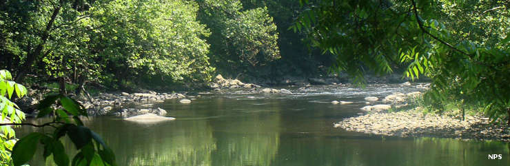
A view along the Bluestone National Scenic River
Named for the deep blue limestone in the riverbed in the river's upper reaches in Virginia, the Bluestone River has eroded a gorge into the area's native rock up to 1,000 feet deep. The bottomland of the gorge was used by Native americans for hundreds of years, then in the late 1700's the first Euro-Americans came. The Meadow, Farley and Lilly families grew and prospered. The town of Lilly flourished at the confluence of the Bluestone and Little Bluestone Rivers. The Bluestone Turnpike saw regular traffic up and down the river, carrying agricultural goods or timber to market. Then came the plan to build the Bluestone Dam. That required the condemnation and removal of Lilly...
Today, the Bluestone National Scenic River designation preserves and protects a 10.5-mile stretch of the Bluestone River between Pipestem Resort State Park and Bluestone State Park. Most folks access the river through either of those state parks but there is a graveled road leading down to the former town of Lilly and giving access to the river halfway between the state parks. With excellent campgrounds available at both ends of the Scenic River, there is no camping allowed in the Scenic River corridor.
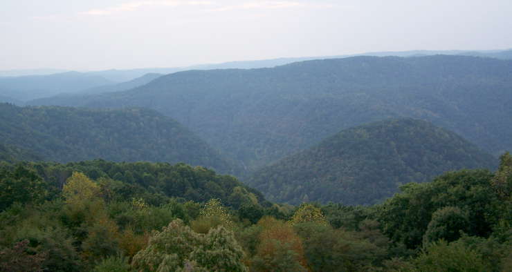
A view across Bluestone Gorge
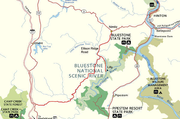
Bluestone National Scenic River area map
Upper photo and map courtesy of the National Park Service
Lower photo courtesy of Brian M. Powell, CCA-by-SA 3.0 License
Lower photo courtesy of Brian M. Powell, CCA-by-SA 3.0 License