Rio Grande Wild and Scenic River
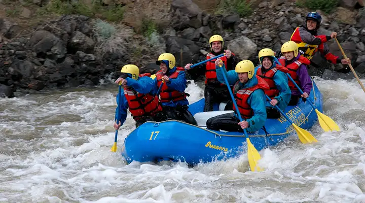
Rafters along the Rio Grande Wild and Scenic River
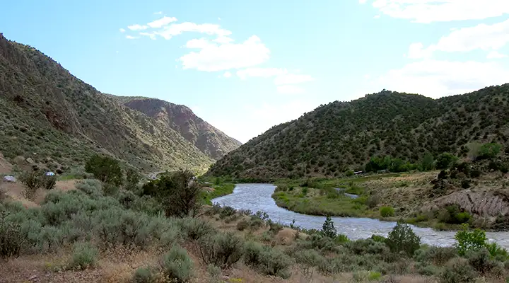
The Rio Grande was one of the first 8 rivers incorporated into the National Scenic and Wild River System by Congress in 1968. In northern New Mexico, the river travels through an 800' chasm of steep volcanic walls (the Rio Grande Rift). The possibility of continued volcanic activity in the canyon is evidenced by the number of hot springs that surface next to the river all through the canyon. The area is a favorite among fishermen and whitewater rafting enthusiasts.
The photo above is taken from the edge of the canyon just below Taos. It is indicative of what the Rio Grande Gorge looks like for most of it's journey from the Colorado border to where it exits White Rock Canyon just above Cochiti Lake (although there is an area of no gorge between Velarde and Black Mesa where the Espanola Valley opens up and the Rio Chama flows in from the west to merge with the Rio Grande).
The BLM manages 2 developed recreation areas along the Rio Grande: the Wild Rivers Recreation Area west of Questa and the Orilla Verde National Recreation Area northwest of Pilar. Both areas offer camping, picnicking, toilets and trash receptacles. Day-use parking and camping fees are required for parking in either recreation area. Both recreation areas are open year round but winter conditions can be severe.
The Rio Grande Wild and Scenic River was incorporated into the Rio Grande del Norte National Monument when it was established by Presidential Procalamation on March, 2013.
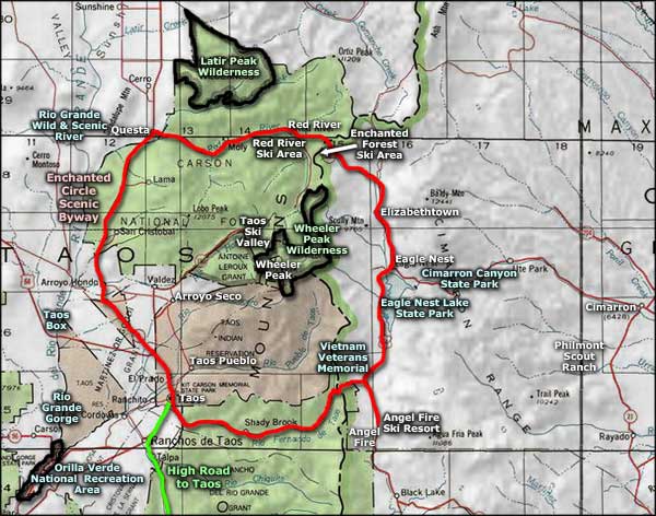
Maps: BLM - Taos, Wheeler Peak

The Taos Gorge Bridge
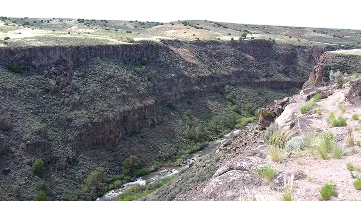
The Rio Grande Gorge from below Taos
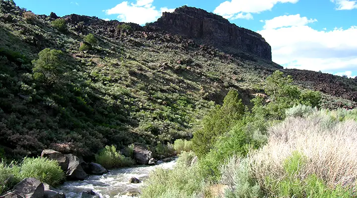
In the Orilla Verde area: this part of the Rio Grande is almost not raftable
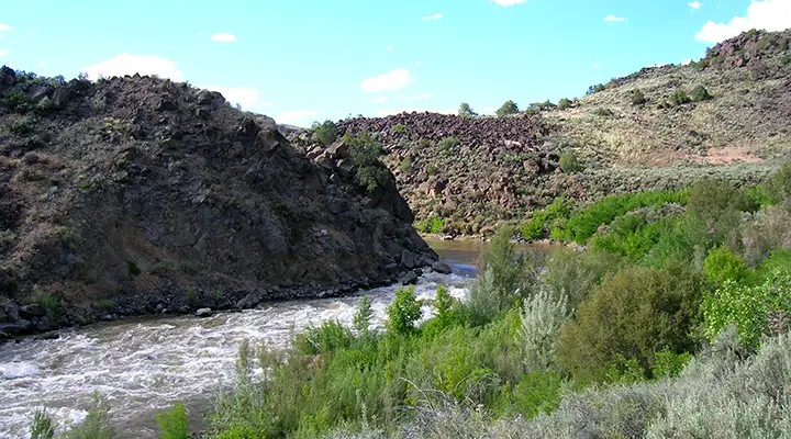
Rapids at the north end of Orilla Verde Recreation Area
The Rio Grande south of Pilar
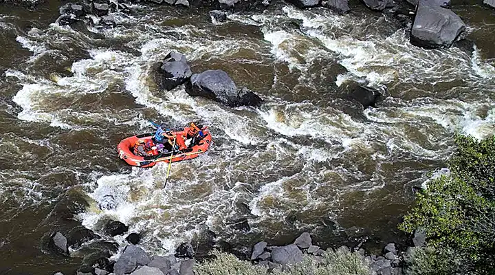
Rafters in the Rock Garden on the Rio Grande Wild & Scenic River
Rafting photos are courtesy of the Bureau of Land Management
Other photos courtesy of TheArmchairExplorer, CCA-by-SA 4.0 License
Other photos courtesy of TheArmchairExplorer, CCA-by-SA 4.0 License
Related Pages
Carson National Forest
Cimarron Canyon State Park
Columbine-Hondo Wilderness
Eagle Nest Lake State Park
Enchanted Circle Scenic Byway
Cimarron Canyon State Park
Columbine-Hondo Wilderness
Eagle Nest Lake State Park
Enchanted Circle Scenic Byway
Map courtesy of National Geographic Topo!