Oglala National Grassland
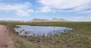
A typical view in the tall-grass prairie area of Oglala National Grassland
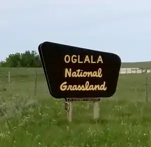
Oglala National Grassland is a 94,520-acre property located in northwestern Nebraska, against the borders of Wyoming and South Dakota. The property is administered out of an office in Chadron, Nebraska shared with the Nebraska and Samuel R. McKelvie National Forests and the Fort Pierre and Buffalo Gap National Grasslands (of South Dakota). The property itself is a series on non-contiguous parcels spread across the plains.
On the Oglala is an archaeological excavation-in-progress at the Hudson-Meng Bison Boneyard site. Hudson-Meng contains the remains of up to 600 bison, originally thought to have been killed by Native Americans with the age-old method of herding them over a cliff about 10,000 years ago (but there is no cliff present, only a gentle rise in the land). The bison found there are a transitional species between the extinct Bison antiquus and the modern Bison bison species that we have today. The site was discovered in 1954 when Bill Hudson and Albert Meng (a pair of local ranchers) were digging to construct a pond at the site of a natural spring. When first excavated in the 1970's, the site was considered the largest Alberta Culture bison kill site ever found. Another, smaller excavation that took place in the 1990's suggests that the site is not a kill site but rather a mass die-off caused by some unknown natural factor (like smoke inhalation during a fast-spreading prairie fire). The Alberta Culture lived in this area between 8,000 and 10,000 years ago. Harvesting bison was the main method of survival of the Alberta people and the site is littered with stone artifacts left by them.
Also on the Grassland is the Toadstool Geologic Park, a zone similar to the Badlands of South Dakota. This is the primary badlands of Nebraska and the park offers a 1-mile loop trail through the formations. The wild shapes of the formations are due to varying rates of erosion on the different layers of sediment. In taking the hike, you'll probably see many fossils along the way: removing them is illegal but you can look and touch all you want. Some of the fossils come from ancient animals like entelodonts and hyaenodons, extinct now but reasonably common up until the last Ice Age. The longest known mammal trackway from the Oligocene epoch is also located within the park. Near the entrance you'll find a reconstructed sod house, testament to the history and lifestyle of early Nebraska homesteaders. To get there: take Nebraska Highway 2/71 north from Crawford to Toadstool Road.
The Warbonnet Battlefield Memorial is also located on Oglala National Grassland, on Montrose Road near the place where Warbonnet Creek and Jim Creek mingle their waters and become Hat Creek. The "battle" happened on Jul 17, 1876, when a group of Cheyenne warriors came up against a detachment of Fifth Cavalry soldiers out of Fort Laramie. That was about three weeks after the fateful Battle of the Little Bighorn. The only casualty of the encounter was a warrior named Yellow Hair, shot and killed by Wild Bill Hickock. There are two monuments at the site: one dedicated to the military, the other to Yellow Hair. Right across the road is the historic Montrose Church and Cemetery.

In Toadstool Geological Park
Photos courtesy of TheArmchairExplorer, CCA-by-SA 4.0 License
Related Pages
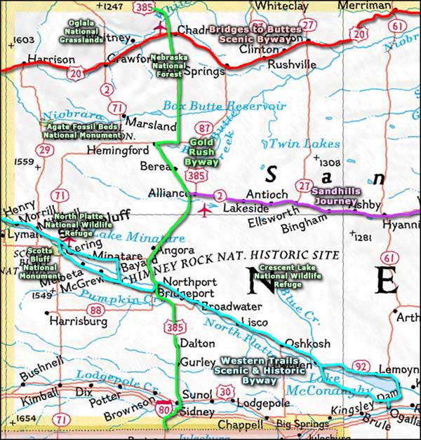
Map courtesy of National Geographic Topo!