J.N. "Ding" Darling National Wildlife Refuge
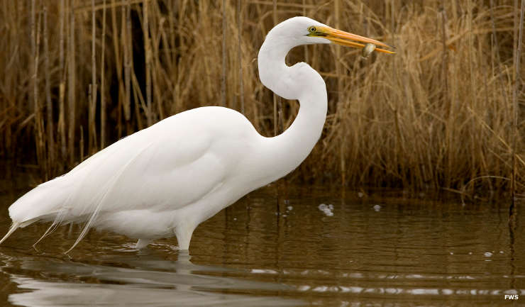
A great egret at JN "Ding" Darling National Wildlife Refuge
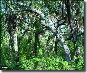
One of the top birding "hot spots" in North America, the J.N. "Ding" Darling National Wildlife Refuge is an undisturbed 6,390-acre mangrove ecosystem (cordgrass marshes, submerged seagrass beds, West Indian hardwood hammocks and mangrove forest) on the northern side of Sanibel Island in southwestern Florida.
Originally, the property was named Sanibel National Wildlife Refuge when President Harry Truman signed the Executive Order creating the sanctuary in 1945. Jay Norwood "Ding" Darling (a well-known environmental activist and Pulitzer Prize-winning political cartoonist) had been urging the President to do this to protect the environmentally valuable property from developers. The Refuge was renamed after Darling in 1967. 2,825 acres on the northern side of the refuge have been designated as the J.N. "Ding" Darling Wilderness.
Since 1945, the US Fish & Wildlife Service has worked to preserve and enhance the pristine countryside to provide nesting, roosting and feeding habitat for migratory bird species. Today, more than 230 species of birds frequent the area, including several species that are on the threatened and endangered lists (bald eagles, wood storks and peregrine falcons among them). In addition, you'll find 32 species of mammals and 51 species of reptiles and amphibians, including American alligators and crocodiles, eastern indigo snakes, Atlantic loggerhead turtles and Florida manatees, using the property.
The Refuge offers a Visitor/Education Center, hiking trails, a 5-mile auto tour route, tram service, observation tower, sealife cruises, fresh and salt water fishing and guided interpretive programs. In addition, you can rent fishing boats, canoes, kayaks, electric pontoon boats and bikes.
On August 13, 2004, Hurricane Charley plowed through the area and caused major changes to the ecology and the topography of the Refuge.
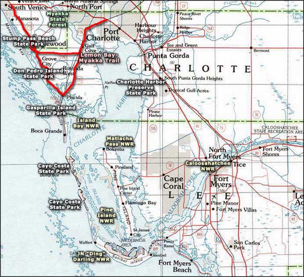
Administered as part of the J.N. "Ding" Darling National Wildlife Refuge Complex, the Complex also manages Caloosahatchee NWR, Matlacha Pass NWR, Island Bay NWR and Pine Island NWR.
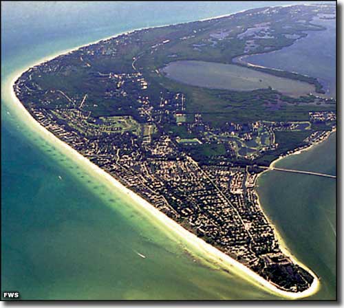
Sanibel Island
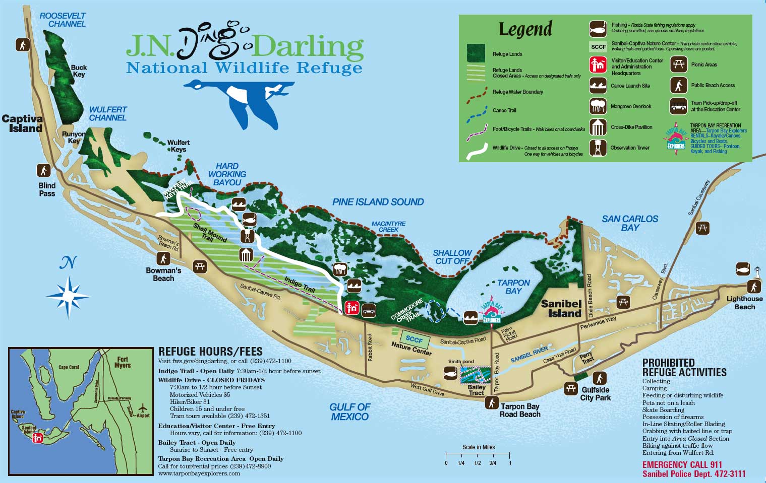
Tap or click on the map above to get a larger version
Photos and maps courtesy of the US Fish & Wildlife Service
Related Pages
Area map courtesy of National Geographic Topo!