Ragged Wilderness
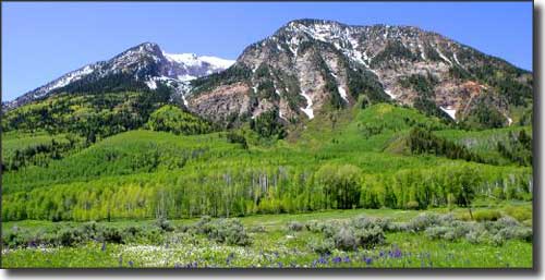
Marcellina Mountain in Ragged Wilderness
Ragged Wilderness is a very rugged area comprised of about 65,393 acres of dense forest and steep rocky mountains in Gunnison National Forest. The name comes from the Ragged Mountains: a chain of peaks that jut into the sky along a ridge that resembles a heavily-serrated knife. There are more than 50 miles of hiking trails in Ragged Wilderness but the more popular ones will force you to ford streams more than once. And fording these streams in the high flows of early summer snowmelt is not fun. But the fishing is excellent and come hunting season... Fall also brings out the colors in the huge stands of aspen in these mountains.
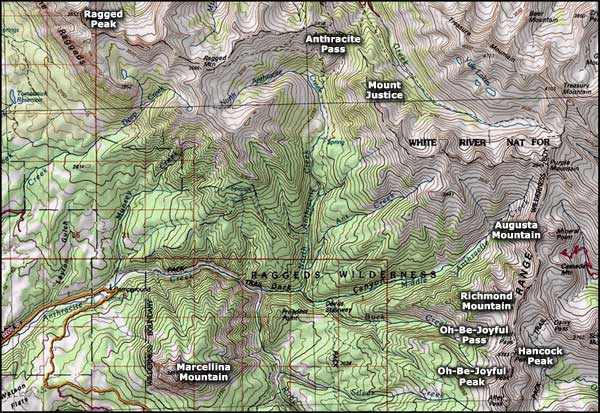
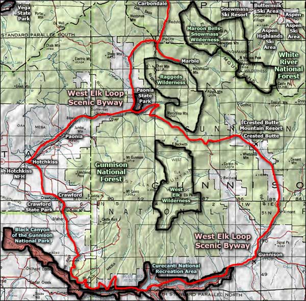
A Forest Service road that leaves pavement near Paonia Lake and heads east to Crested Butte (as part of the West Elk Loop Scenic Byway) gives reasonable access to the south side of the wilderness. Another road that goes northwest from Mount Crested Butte crossing Schofield Pass and dropping into Marble gives access to the north and east sides of Ragged Wilderness. The map below shows you that a significant portion of this property is above treeline, and the one area with a heavy concentration of tree coverage goes by the ominous name of "Dark Canyon."
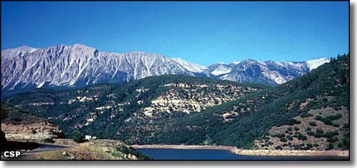
The Raggeds Mountains from Paonia State Park
Photos of the Ragged Mountains courtesy of Colorado State Parks
Map courtesy of National Geographic Topo!
Related Pages
Black Canyon of the Gunnison National Park
Crawford State Park
Curecanti National Recreation Area
Gunnison National Forest
Crawford State Park
Curecanti National Recreation Area
Gunnison National Forest
Map courtesy of National Geographic Topo!