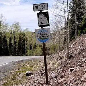
Beaver Canyon Scenic Byway
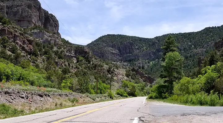
A view up the hill near the bottom of the Beaver Canyon Scenic Byway
Beaver Canyon Scenic Byway is a 17-mile section of Utah Highway 153 heading east out of the town on Beaver into the Tushar Mountains of Fishlake National Forest. This is a beautiful, forested area with many streams and lakes. There are a lot of old mine dumps and ghost towns in the area, too, so rockhounds can have quite the party in these woods. Just one thing: this route is a relentless uphill climb from the western desert of Utah into the high mountains. Figure on taking probably 45 minutes to reach the upper end of the scenic byway at Eagle Point Ski Resort, a four-season resort at the foot of Mount Holly and Delano Peak.
This is a National Forest Scenic Byway and there are several campgrounds and trail heads along the route. Fishing in the streams and reservoirs of Fishlake National Forest is also excellent. Winter sees most of the trails in these woods turn into cross-country skiing and snowmobiling trails.
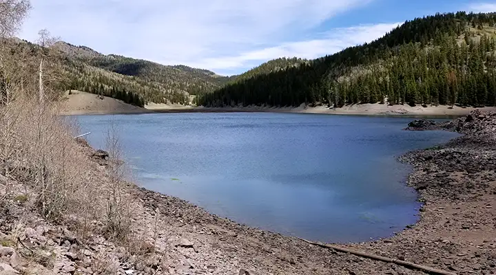
The reservoir at the top of the byway
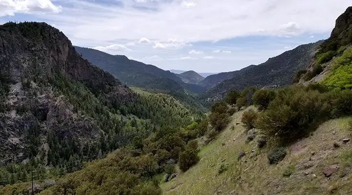
Looking downhill through Beaver Canyon from near the top
Photos courtesy of TheArmchairExplorer, CCA-by-SA 4.0 License
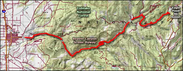
Map courtesy of National Geographic Topo!