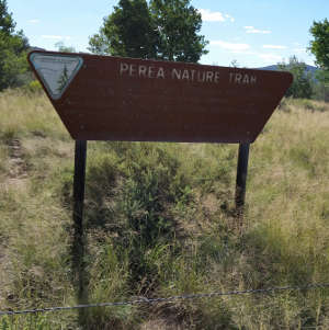
Perea Nature Trail
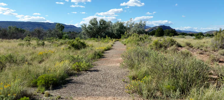
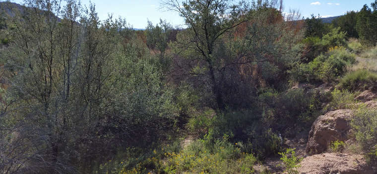
A view at the beginning of the Perea Nature Trail
The Perea Nature Trail is an easy one-mile loop trail along a mountain stream just outside the village of San Ysidro. During the walk you'll get some great views of the Jemez Mountains to the northeast and the Nacimiento Mountains to the north. The Nacimiento's are old mountains, while the Jemez are relatively new.
The Nacimiento's are formed of Precambrian granite with a schist and gneiss core. That core is some of the oldest rock in New Mexico. The western slopes of the Jemez are composed of a white-to-tan sandstone, the Agua Sarca formation, laid down in the Triassic Age. Below the Agua Sarca is the Glorieta formation, grey sandstone laid down during the Permian Age. That sandstone has been compressed enough to now form cliffs where it is exposed. At the San Ysidro Fault, the slope turns into a brilliant red vertical face, striped with shades of red differentiating outcrops of the Abo and Yeso formations. The Abo formation indicates deposition along floodplains and river channels while the Yeso formation indicates shallow marine environments with deposits of local wind-blown sands.
To the southwest is Blanco Mesa, best known as a creative backdrop in photographs and motion pictures (although today it sees a lot of use as the White Mesa Bike Trails Area). In between Perea and Blanco Mesa is the Rio Salado riverbed with more than 100 million years of geology exposed. The upper layer is the Todilto formation, about 100 feet of white gypsum laid down over a brown limestone during the Jurassic Age. Below that is a layer of light tan-to-yellowish sandstone cliffs of the Entrada formation, hard sandstone laid down as ancient wind-blown sand dunes. The lowest formation exposed is the Chinle formation, a layer of mud-and-siltstones laid down in the Triassic Age.
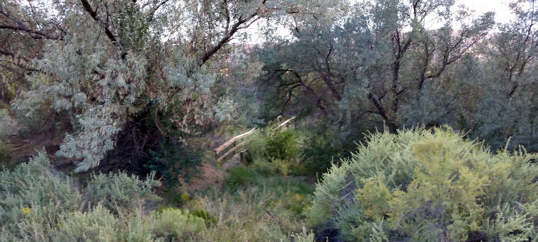
Perea Nature Trail is also a walk through a riparian-wetland ecosystem. These ecosystems are important islands of environmental diversity, used by significantly more numbers of wildlife and livestock than their small sizes would suggest. Wetlands have a water table that is at or above the level of the surrounding land surface and provide sufficient water to grow plants that reduce the effects of flooding, remove pollutants and are especially good at processing carbon dioxide to produce oxygen.
The nearest facilities for modern humans are in the village of San Ysidro.
To get to the Perea Nature Trail: About 20 miles northwest of Bernalillo on US 550 there's a brown state highway recreation sign posted at the turnoff. The access road is paved. The property is open year round and there are no fees involved.
I happened to be driving by one day and stopped to take a hike along the Perea Nature Trail. Whatever info I had gleaned from wherever about the place didn't do it justice: it was a very nice walk in an area that most likely sees a lot of birds passing through in season. But without stopping and enjoying that walk, I'd never have gotten these pictures either...
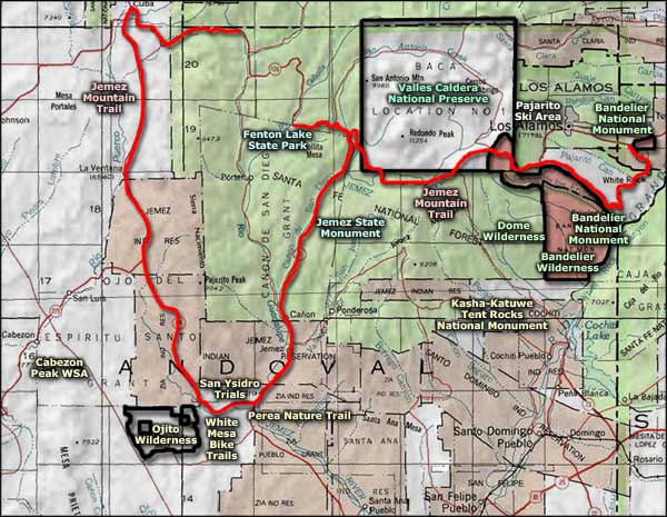
Maps: BLM - Los Alamos
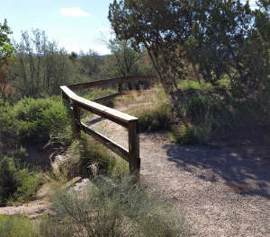
Dropping down to cross a bridge
A view of the riparian area along the streambed
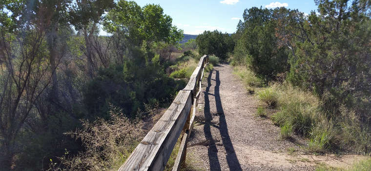
About one mile in from the parking area
Photos courtesy of TheArmchairExplorer, CCA-by-SA 4.0 License
Related Pages
Map courtesy of National Geographic Topo!