Tunnel Spring Wilderness
Tunnel Spring Wilderness
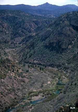
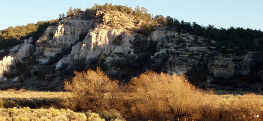
At 5,371 acres, Tunnel Spring Wilderness is one of the smaller wilderness areas in Nevada. Wrapped around the northern side of Beaver Dam State Park, Tunnel Spring Wilderness is a mountainous area of steep canyons and rough drainages below the long ridges that rise above the head of Beaver Dam Wash. The geology here is mostly of volcanic origin. The climate is semi-arid, which means hot summers and cold winters. The vegetation is primarily sagebrush and pinon-juniper. Elevations range from 5,000' to 6,700'.
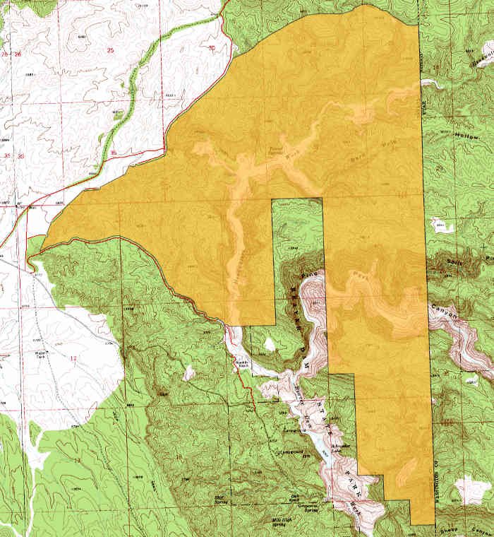
The easiest access to Tunnel Springs Wilderness is from the Pine Park Campground in Dixie National Forest. Most of the area is too rugged for horseback riding but the hiking is good. There are a number of trails in the Pine Park Canyon, Sheep Corral Canyon and Pine Park-Split Pine Hollow areas. Cougar Canyon Wilderness is just over the state line along the eastern boundary of Tunnel Spring.
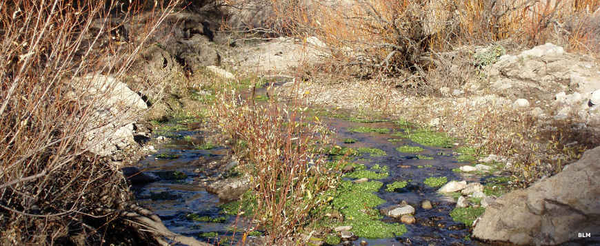
Unusual for this area of Nevada, there are about 6 miles of perennial streams that support rainbow trout. Wildlife includes mule deer, mountain lion, coyote and the famous Merriam's kangaroo rat.
Something to look out for: Tunnel Spring Wilderness is very close to the military flight path to and from Nellis Air Force Base. In their inestimable respect for the wild lands of this country, there are several times a week when one military aircraft or another will fly over at subsonic speed, as little as 100 feet above the ground. Just because they can.
Photos and map courtesy of the Bureau of Land Management
Related Pages
Beaver Dam State Park
Big Rocks Wilderness
Cathedral Gorge State Park
Echo Canyon State Park
Extraterrestrial Highway
Far South Egans Wilderness
Fortification Range Wilderness
Great Basin National Park
Big Rocks Wilderness
Cathedral Gorge State Park
Echo Canyon State Park
Extraterrestrial Highway
Far South Egans Wilderness
Fortification Range Wilderness
Great Basin National Park
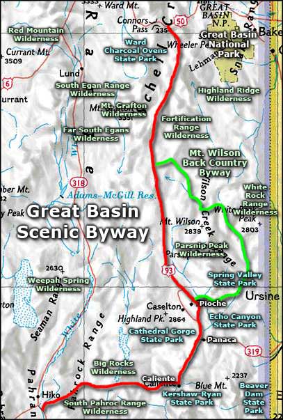
Map courtesy of National Geographic Topo!