South Egan Range Wilderness
In the South Egan Range Wilderness
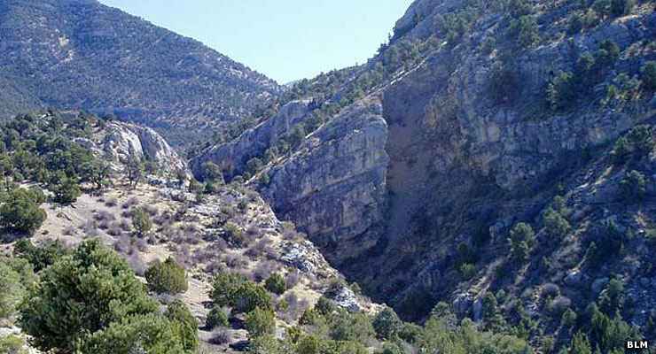
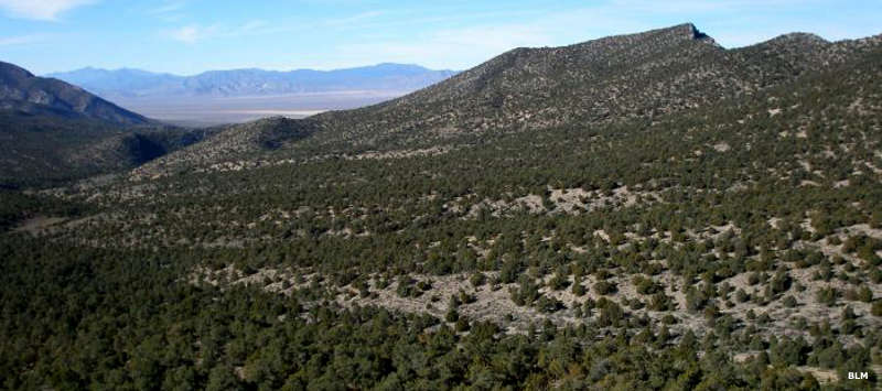
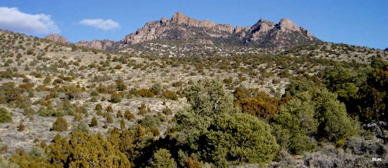
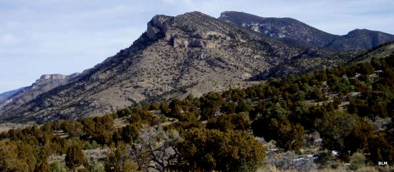
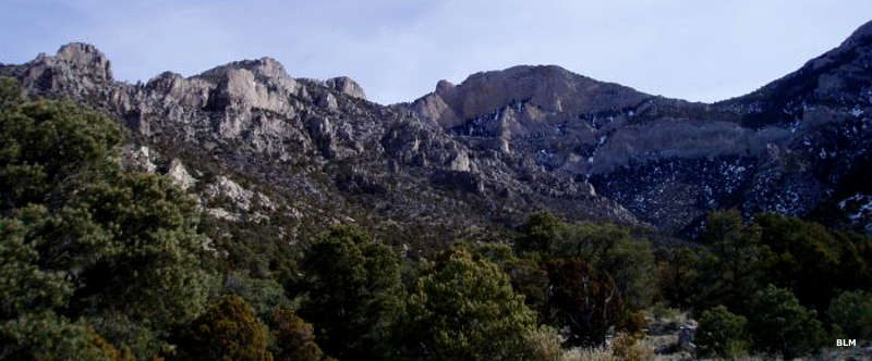
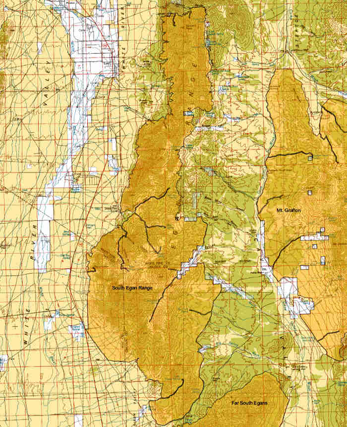
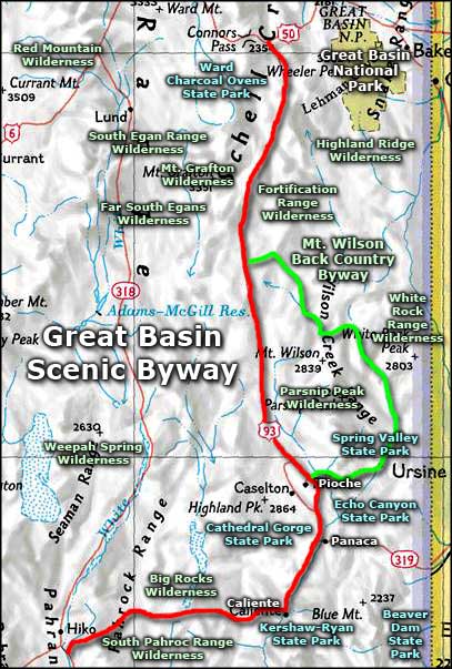
The South Egan Range Wilderness is composed of 67,214 acres in the Egan Range about 2 miles east of the town of Lund. The wilderness protects nearly the entire rugged mountain spine that runs almost the whole length of the White River Valley. From the western side, sheer cliffs rise almost 4,000' above the valleys below. That upper ridge is more easily accessed from the more gentle eastern slopes through open meadows and forest.
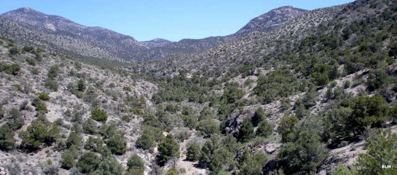
While the lower areas of the South Egan Range Wilderness are filled with pinon and juniper forests with deep canyons of riparian vegetation, the higher areas and ridge tops are studded with stands of bristlecone pine. The southern 1/3 of the wilderness contains Long Valley, a large open bowl between high, sharp mountain ridges. The largely unexplored Angel Cave, a limestone-solution pit cave, is also in the wilderness at an elevation of about 9,000'. For wildlife you'll find elk, mule deer, various game birds, turkey vultures, kestrels, golden eagles, prairie falcons and several species of owls.
Access to the South Egan Range Wilderness is via US 6. Go about 20 miles south of Ely, then turn southeast onto State Highway 318. SR 318 parallels the western boundary of the wilderness area. To the southeast of South Egan Range Wilderness is Mount Grafton Wilderness and to the south is Far South Egans Wilderness.

Photos and map courtesy of the Bureau of Land Management
Related Pages
Beaver Dam State Park
Big Rocks Wilderness
Cathedral Gorge State Park
Echo Canyon State Park
Extraterrestrial Highway
Far South Egans Wilderness
Fortification Range Wilderness
Great Basin National Park
Big Rocks Wilderness
Cathedral Gorge State Park
Echo Canyon State Park
Extraterrestrial Highway
Far South Egans Wilderness
Fortification Range Wilderness
Great Basin National Park
Map courtesy of National Geographic Topo!