Mount Rose Scenic Byway
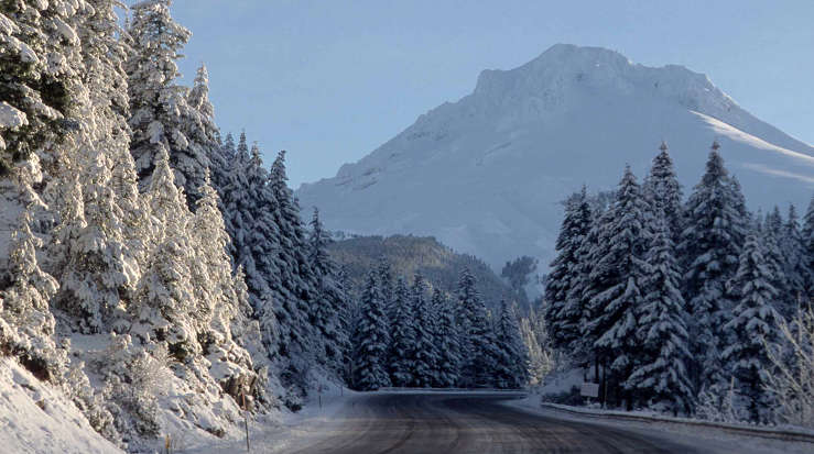
Scene along the Mount Rose Highway
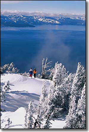
South of Reno, State Route 431 heads west from US 395 and climbs the shoulder of Mt. Rose to cross the highest (8,911') all-season pass in the Sierra Nevada's before dropping into Tahoe Basin and ending in Incline Village at Route 28. About four miles up the hill from Incline Village is an overlook that offers views of the lake that are simply breathtaking (I think the photos to the left and below say it all).
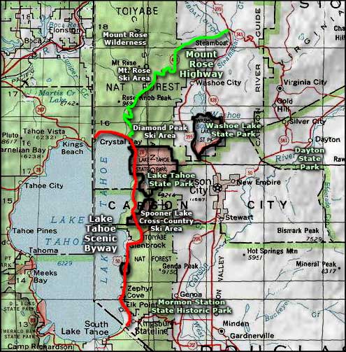
The 22.2-mile Mt. Rose Highway is open year-round except for occasional winter weather closures. Along the route you'll find Mt. Rose Ski Tahoe and Galena Creek County Park. At the summit is Tahoe Meadows with a Forest Service campground and access to the Tahoe Rim Trail and to the 28,000 acres of the Mt. Rose Wilderness.
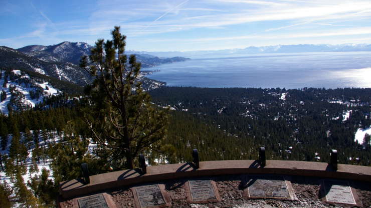
Lake Tahoe from the Mount Rose Scenic Byway Overlook
Upper photo courtesy of Ron Nichols, USDA NRCS
Lower photo courtesy of Wikipedia userid Davemeistermoab, CCA-by-SA 3.0 license
Lower photo courtesy of Wikipedia userid Davemeistermoab, CCA-by-SA 3.0 license
Related Pages
Map courtesy of National Geographic Topo!