Eagles Nest Wilderness
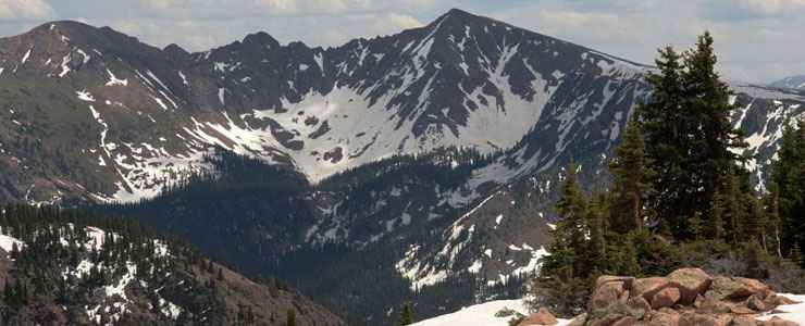
Gore Mountains, Eagles Nest Wilderness

The 133,471 acres of Eagles Nest Wilderness are located in the heart of the Gore Range. Heavy snows here provide a major contribution to the headwaters of the Colorado River. As this area is more vertical than horizontal, spring snowmelt cascades down from the heights into marshy meadows and ponds and then into thundering creeks as the temperatures rise into summer.
Elevations vary from 7,850' to 13,524' at Mt. Powell, named for the first Euro-American who climbed it: John Wesley Powell in 1868. With knife-edged ridges, jagged peaks, sheer rock faces, deep valleys, and dense forests lower down, the topography here makes for some very strenuous foot travel.
About 180 miles of trail provide access to Eagles Nest Wilderness, most of these trails ending at one of many beautiful alpine fishing lakes. The 15-mile Cataract Lake to Piney Lake Trail crosses the north side of the Wilderness. The 19-mile trail from Gore Creek to Red Buffalo Pass to Uneva Pass crosses the south side of Eagles Nest Wilderness. Because of the topography, off-trail hiking tends to be difficult, but several informal and unmaintained routes climb the steep passes in Eagles Nest's craggy center.
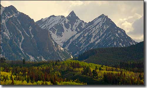
The Gore Mountains in Eagles Nest Wilderness
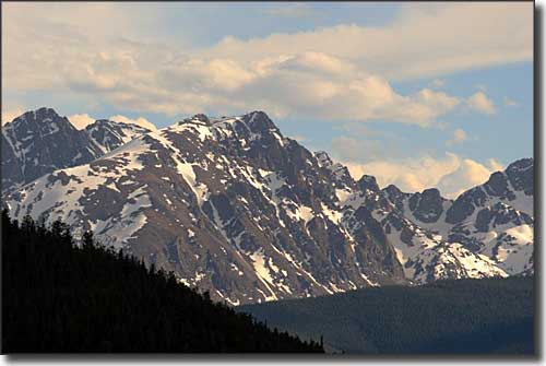
Another mountain view in the Gore Range of Eagles Nest Wilderness
Fast Facts about Eagles Nest Wilderness
- Size: 133,471 acres
- Designated: 1976
- Elevations: 7,850' to 13,524'
- Miles of Trails: 180
- Game Management Units: 36, 37, 45, 371
- Latitude: 39.7°N Longitude: 106.25°W
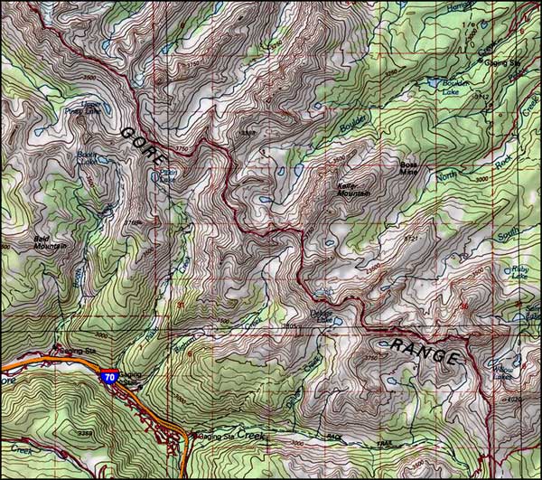
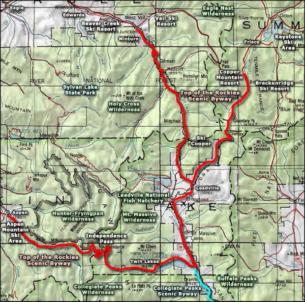
Eagles Nest Wilderness area map
Photos courtesy Phil Armitage
Map courtesy of National Geographic Topo!
Map courtesy of National Geographic Topo!
Related Pages
Arapaho-Roosevelt National Forest
Buffalo Peaks Wilderness
Collegiate Peaks Scenic Byway
Collegiate Peaks Wilderness
Eagles Nest Wilderness
Buffalo Peaks Wilderness
Collegiate Peaks Scenic Byway
Collegiate Peaks Wilderness
Eagles Nest Wilderness
Map courtesy of National Geographic Topo!