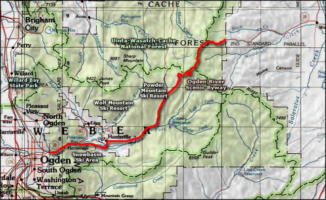
Ogden River Scenic Byway
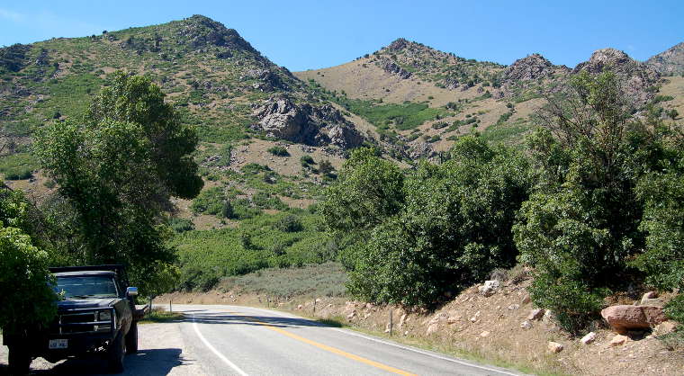
Typical view along the Ogden River Scenic Drive east of Huntsville
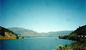
Pineview Reservoir
The Ogden River Scenic Drive is a 44-mile route through Ogden Canyon in Uinta-Wasatch-Cache National Forest. The route passes through some dramatic quartzite cliffs along the Ogden River as it makes its way through the narrow canyon to the southern shore of Pineview Reservoir. The road skirts that edge of Pineview Reservoir, then brushes up against the town of Huntsville.
Beyond Huntsville the route follows the South Fork of the Ogden River for a few miles, then heads up and over the hill to descend in Sheep Creek Canyon. Along the way you'll pass the access roads to Wolf Mountain, Snowbasin and Powder Mountain ski resorts, and Causey Reservoir. Most of the Ogden River Scenic Drive traverses remote and very scenic areas in the Wasatch Mountains.
As the Ogden River Scenic Drive follows Utah Highway 39 and begins and ends at the Uinta-Wasatch-Cache National Forest boundaries on its eastern and western ends, you can see that it is primarily a National Forest Service Scenic Byway. Part of what that means is the road from Huntsville to Woodruff is usually closed by snow in the winter.
Along the byway are picnic areas, campgrounds and several trail heads affording access to the back country of the National Forest. The fishing is excellent, too, both in the reservoirs and the rivers.
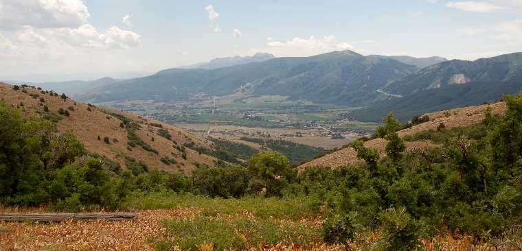
The Huntsville Valley
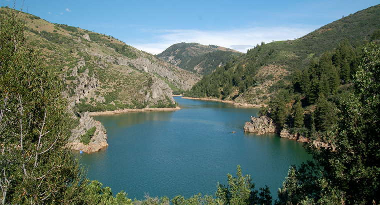
Causey Reservoir, just off the byway
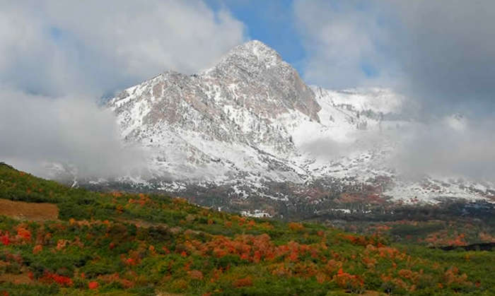
Mount Ogden, from along the Ogden River Scenic Drive
Lower photo courtesy of the US Forest Service
Upper left photo courtesy of Chalae Cox via Byways.org
Other photos courtesy of A. Crane via Byways.org
Upper left photo courtesy of Chalae Cox via Byways.org
Other photos courtesy of A. Crane via Byways.org
Related Pages
Map courtesy of National Geographic Topo!