Rio Chama Wilderness Study Area
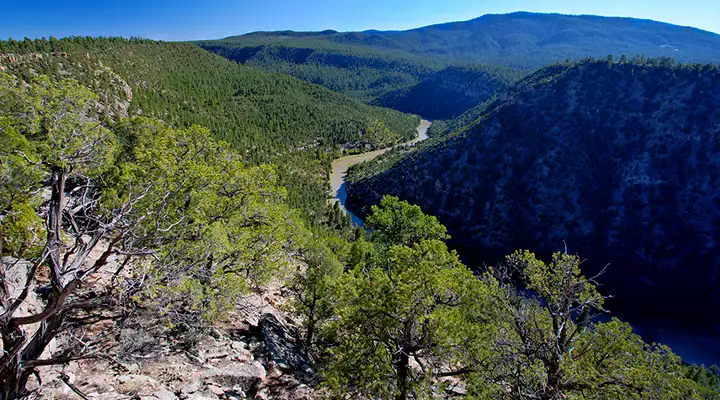
A view in the Rio Chama Wilderness Study Area
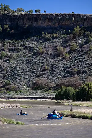
The Rio Chama Wilderness Study Area is a 12,671-acre property along the side of the Rio Chama Wild & Scenic River corridor in northern New Mexico. On the southeast side the property abuts Chama River Canyon Wilderness at the National Forest boundary. The landscape is comprised of gently rolling sagebrush plains that drop into a 900-foot deep canyon along the Rio Chama. The north-facing slopes are covered in Ponderosa pines and Douglas firs while everything else is covered in piñon pine and juniper woodlands. There are no marked or maintained trails in the WSA.
To get there: Go about 31 miles north of Abiquiu on Highway 84 and turn west at the town of Cebolla on NM221. When the pavement ends at a T go right on County Road 303. Just over eight miles from the pavement the road becomes the boundary with the WSA on the left side. The road is gravel and dirt beyond the pavement. It's usually passable in 2WD with good clearance as long as everything is dry. If it's wet don't do it... unless you happen to float in on the river.
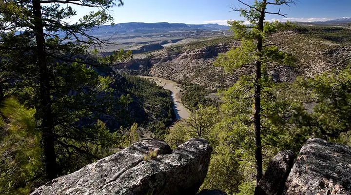
A view in the Rio Chama Wilderness Study Area
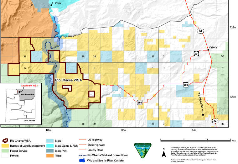
Photos and map are courtesy of the Bureau of Land Management