Petroglyph National Monument
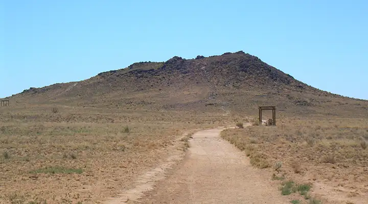
Petroglyph National Monument: One of the volcanoes
Petroglyph National Monument is a 7,236-acre property on the West Mesa of Albuquerque that is administered cooperatively by the National Park Service and the City of Albuquerque. The western edge of the property overlies a chain of dormant fissure volcanoes. East of that are hundreds of Ancestral Puebloan architectural sites and thousands of rock art images, most carved by Ancestral Puebloans but some by early Spanish settlers.
The Las Imágenes Visitor Center is where most folks stop first when they come to Petroglyph National Monument. That's where the bookstore, interpretive exhibits and information desk are. You can also get free copies of the park map and park newspaper there.
From the map below you can see there are several entrances and parking areas at Petroglyph National Monument. There are restrooms located at all the parking areas. There are several hiking trails available, too, the longest one probably being about two miles one-way. The trails are rated as everything from easy to strenuous. You'll usually find shaded resting areas along the trails, also usually at specific scenic overlooks because from this vantage point on Albuquerque's West Mesa, the views of the Sandia Mountains on the other side of Albuquerque are spectacular.
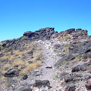
Rinconada Canyon is where you'll be able to explore the geology of the area and visit the most petroglyphs. 150,000 years ago, the volcanoes in this part of New Mexico were flowing lava across the land. That basalt is a cap on the softer sandstone of the Santa Fe Formation immediately below. As the sandstone erodes, the overlying lava cracks, breaks off and falls down the hillside. It's that action that created the escarpment where the Ancient Puebloans expressed their artistic sensibilities. The trail in Rinconada Canyon travels along the northern escarpment past a variety of petroglyphs. There's no definite end to the trail, you only notice because the density of rock art reduces to nothing as the trail turns south. You can choose to turn around there or continue on the trail along the southern escarpment. The journey into the canyon is about 1.25 miles long and is rated as moderately strenuous.
The Boca Negra Canyon parking area gives access to three short trails with about 150 petroglyphs to be seen, but this is the most developed area of the park. Piedras Marcadas Canyon has very limited parking and only a couple poorly marked trails.
To get there: Petroglyph National Monument is located about 3 miles north of Interstate 40 at the intersection of Unser Boulevard and Western Trail NW. The Visitor Center is open from 8 am to 5 pm every day except Thanksgiving, Christmas and New Years Day. The only fees involved at Petroglyph National Monument are for folks parking at Boca Negra Canyon. This is a per-private-vehicle parking fee imposed by the City of Albuquerque.
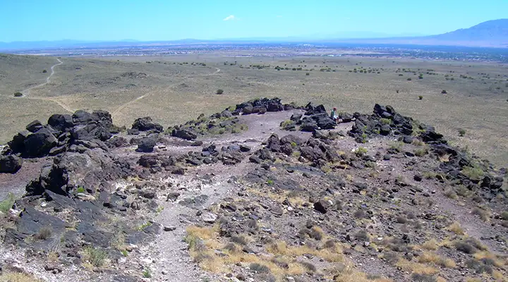
View in one of the craters
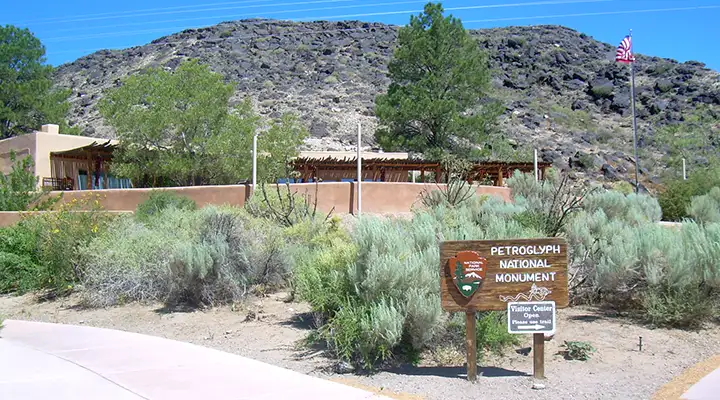
The visitor center at Petroglyph National Monument
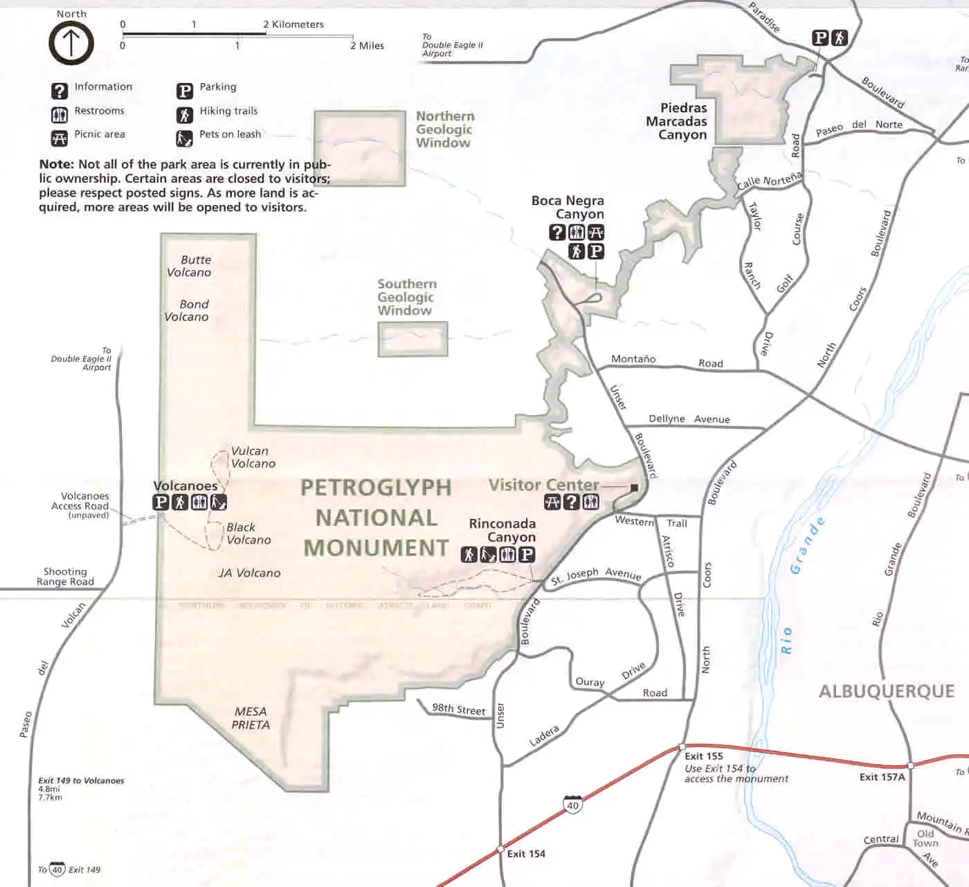
Petroglyph National Monument map
Click or tap for a larger version
Photos courtesy of TheArmchairExplorer, CCA-by-SA 4.0 License
Map courtesy of the National Park Service
Map courtesy of the National Park Service
Related Pages
Map courtesy of National Geographic Topo!