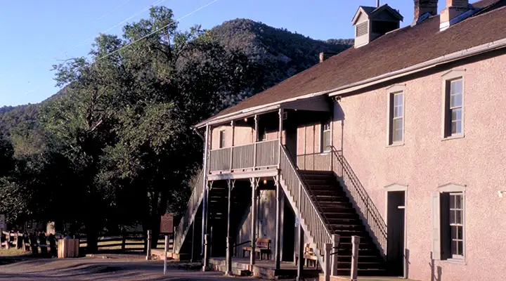
Lincoln State Historic Site
Lincoln County Jail and Courthouse, home of Billy the Kid for several days in 1881
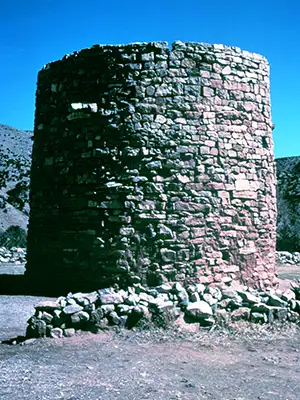
Lincoln State Historic Site is composed of 17 of the 48 historic structures still standing in the tiny town of Lincoln. In 1960, the National Park Service designated the entire town (and everything strung out along 10 miles of US Highway 380) as part of the Lincoln National Historic District. The district is also a National Historic Landmark, rated as the "best preserved historic cow town in the United States."
Lincoln is most famous as the centerpiece of the Lincoln County War, a struggle between two vicious economic factions vying for control of local resources and some lucrative government contracts. The shooting started in 1878 but most of it didn't last too long. The recriminations, assassinations and bad blood went on into 1881. During that time, the streets of Lincoln were peopled with imported gunslingers like William Bonney, Dave Rudabaugh, David Anderson (who was later a sheriff in Terrell County, Texas), Tom O'Folliard (reputedly one of Billy the Kid's best friends), Charlie Bowdre, Jose Chavez y Chavez, Jim French and Richard Brewer, all members of the Lincoln County Regulators (a group composed of 45 of the reputed "best killers in the West"). There were many hired gunslingers with the other faction in the dispute, too, but no one was as famous as Billy the Kid. And if there hadn't been a "Billy the Kid," there probably wouldn't be a Lincoln State Historic Site now.
Today, you can enjoy a walk through a town frozen in time: 1870's and 1880's New Mexico Territory. Four of the state-owned buildings are open to the public year-round, two others are open seasonally. But you can visit the Courthouse, the jail, the old store, church, etc. Things have been kept pretty much as they were back then, even down to the merchandise on display in the store in the original cases on the original shelving.
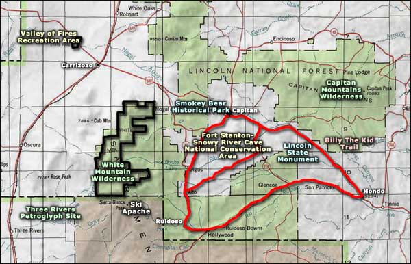
Lincoln State Historic site is located about 12 miles east of Capitan along US Highway 380.
Photos courtesy of Dennis Adams, National Scenic Byways Office
Related Pages
Map courtesy of National Geographic Topo!