Gila Wilderness
Gila Wilderness
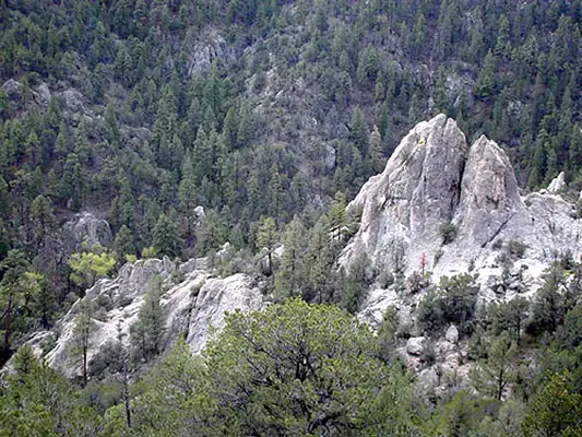
On June 3, 1924, Congress finally indicated that they had heard Aldo Leopold and took action, declaring the Gila Wilderness as the world's first designated wilderness area. The 558,014 acres of the Gila rise from the eastern pinon and juniper country into the ponderosa-covered central section and then into the 10,000'+ peaks of the Mogollon Range on the west and southwest. In between, the land is cut deeply by the Gila River and the Turkey Creek and Mogollon Creek drainages.
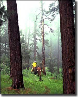
There's an extensive maintained trail system in the Gila Wilderness. There are several good hot springs in these hills and the trails leading to them see traffic. However, the hot springs here are home to a particular amoeba that can get into your ears and head straight for your brain. It causes a deadly form of meningitis, so don't dunk your head under the water...
The big streams run year-round, with alternative water sources in the many springs, creeks and tanks. The higher elevations tend to be snowpacked from December into February but the lower elevations are usually mild in the winter. Summer can see some real heat with frequent heavy thunderstorms in July and August.
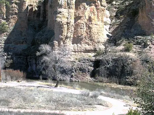
The Gila Cliff Dwellings National Monument is located in the heart of the Gila Wilderness but, technically, is not part of the Wilderness. And the road leading to the cliff dwellings is what they call "tunneled" into the Wilderness. Just east of the Gila, on the other side of Forest Road 150, is the Aldo Leopold Wilderness, covering the most rugged and wild parts of the Black Range.
In the Gila Wilderness
Upper left photo courtesy of Bill Allen, via Byways.org
Other photos of the Gila Wilderness courtesy of the US Forest Service
Other photos of the Gila Wilderness courtesy of the US Forest Service
Related Pages
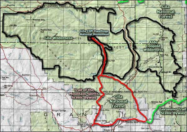
Map courtesy of National Geographic Topo!