Chain of Craters Wilderness Study Area
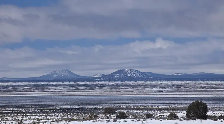
A view of the Chain of Craters
Chain of Craters WSA
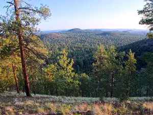
The Chain of Craters Wilderness Study Area is an 18,300-acre property wholly contained within the boundaries of El Malpais National Conservation Area. This is an area with a string of more than 25 cinder cones, the result of a weak spot in the Earth's crust being found by rising magma. Elevations on the property vary from about 7,400 feet to about 8,350 feet. The higher elevations offer Ponderosa pines while the lower elevations are covered in a juniper and piñon woodland.
The Continental Divide National Scenic Trail crosses the WSA north-to-south. Part of the southeastern boundary of the WSA abuts the Chain of Craters Backcountry Byway. Most people access the Chain of Craters Wilderness Study Area via these two routes. The backcountry byway is a dirt road and is usually drivable with 2WD and some clearance, as long as long as it's dry. If it's wet even high clearance 4WD will have trouble.
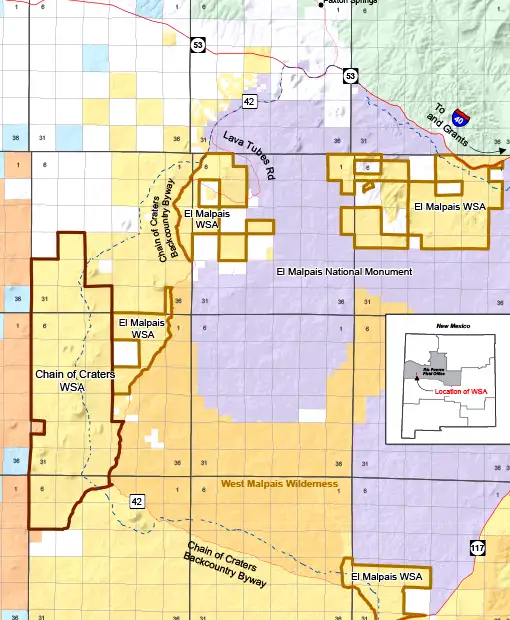
Chain of Craters Wilderness Study Area map
Photos and map courtesy of the Bureau of Land Management