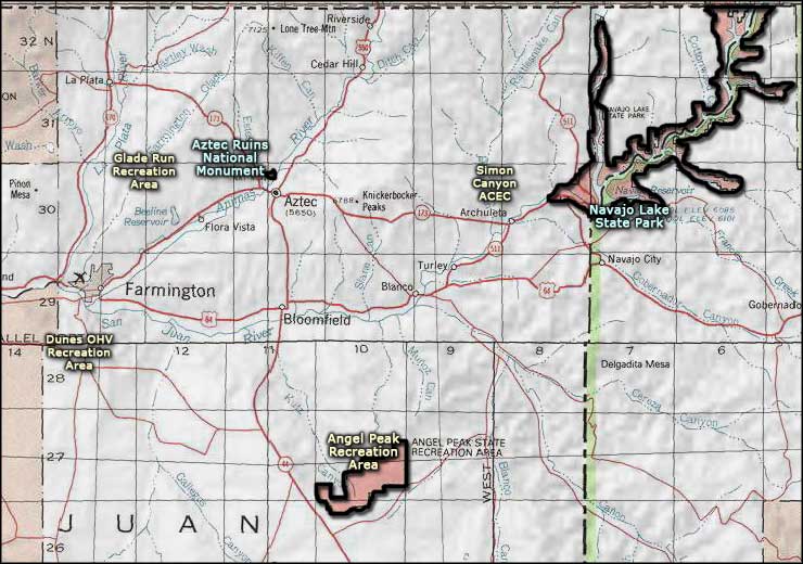
Aztec Ruins National Monument
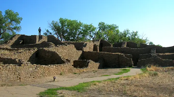
The West Ruin at Aztec Ruins National Monument
These well-preserved ruins comprise the Aztec Ruins National Monument: structures and artifacts of Ancestral Pueblo people from the 1100 and 1200s. People associated with Chaco Canyon to the southeast built and used the structures, then people related to the Mesa Verde region to the north used the site in the 1200s. The monument was established in 1923 and designated a World Heritage Site in 1987. Contained within the Monument are large, apartment-style dwellings and a restored great kiva. The Ruins are open in the summer from 8 AM to 6 PM, seven days a week, and in the winter from 8 AM to 5 PM, seven days a week.
Passing through a residential area to get into the central courtyard
Sometime in the late 1000's, a group of Ancestral Puebloans planned and began building a large community on high ground overlooking the Animas River. 200 years later, the complex they had originally designed had grown into several great houses, small residential pueblos, tri-walled kivas, roads, earthworks and great kivas. When you consider the formal layout of the settlement, the purposeful modifications of the landscape and the orientation and visual relationships among the buildings, you can see that the final product was visualized in the original design, finished several generations after the original designers passed on. In the early 1100's, the great house of the West Ruin was built. This structure consisted of at least 400 contiguous rooms with three stories and numerous kivas, including a great kiva in the plaza.
By 1130, the majority of construction activity shifted to the area of the East Ruin (which area is presently off-limits to the public). Another 150 years was spent in the construction of the East Ruin. Both of these ruins were built in Classic Chacoan style although both structures were built either as Chacoan influence was waning or after Chaco had been abandoned. Archaeologists figure the Aztec Ruins were pretty much abandoned by the late 1200's as the growing drought forced the people either into eastern Arizona or downstream to the Rio Grande in New Mexico in search of water and better living conditions.

Aztec Ruins National Monument
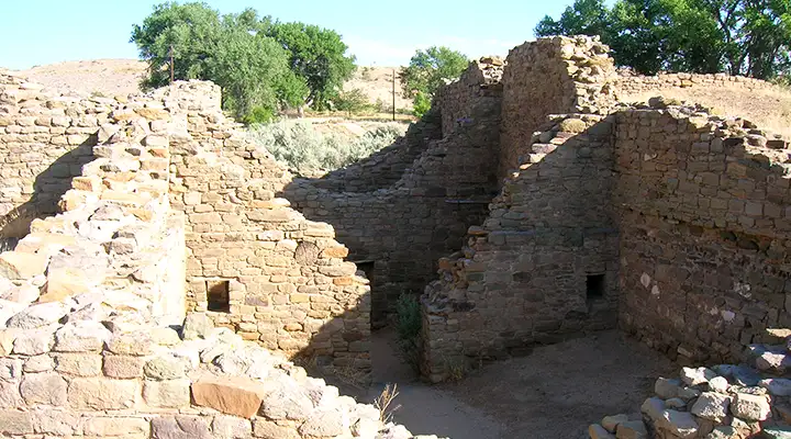
A lower residential area
An outer residential area
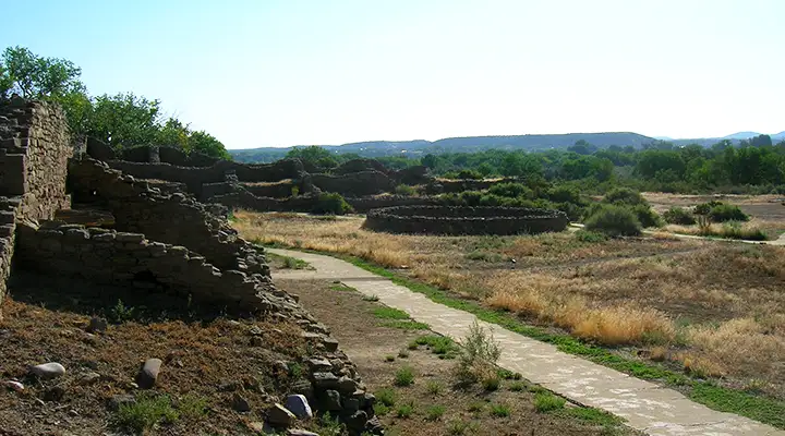
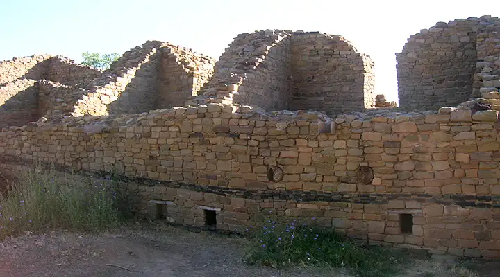
In the central plaza
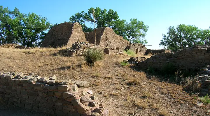
Above the central plaza
Against the central plaza
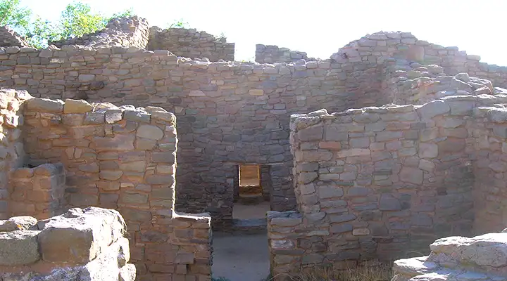
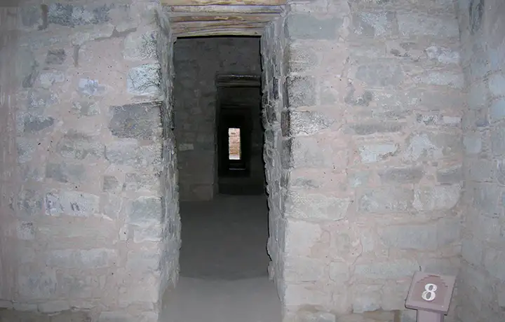
A series of apartment doorways
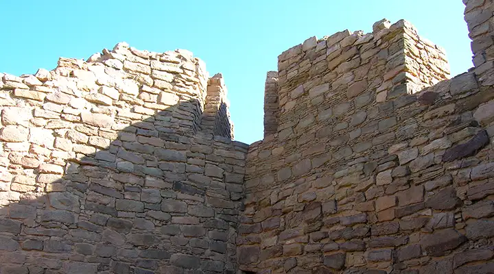
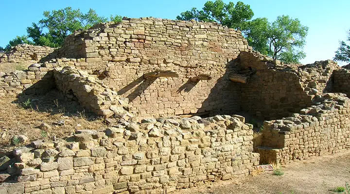
Masonry detail
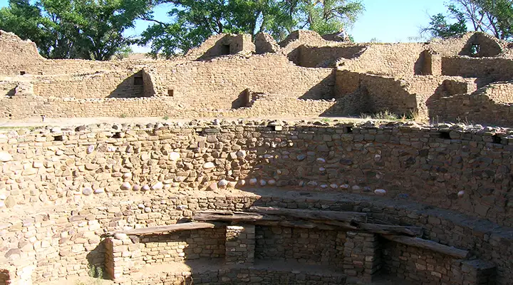
Kiva in the central plaza
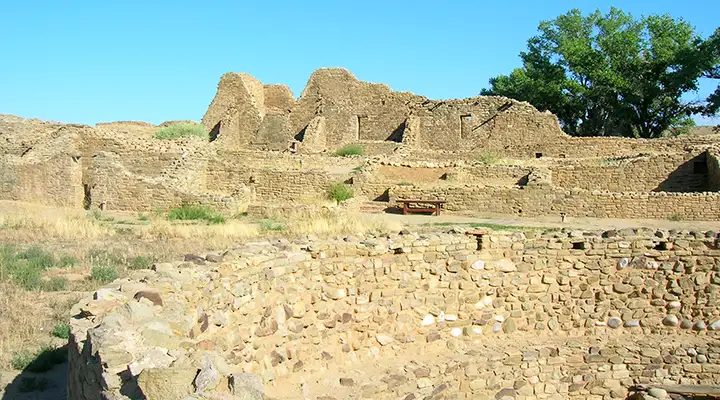
Above the central plaza
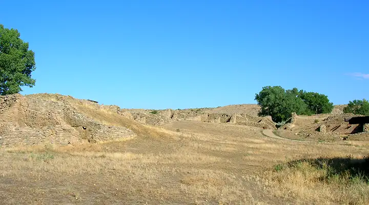
Another effort to show the scale of the place
Photos courtesy of TheArmchairExplorer, CCA-by-SA 3.0 License
Related Pages
Map courtesy of National Geographic Topo!