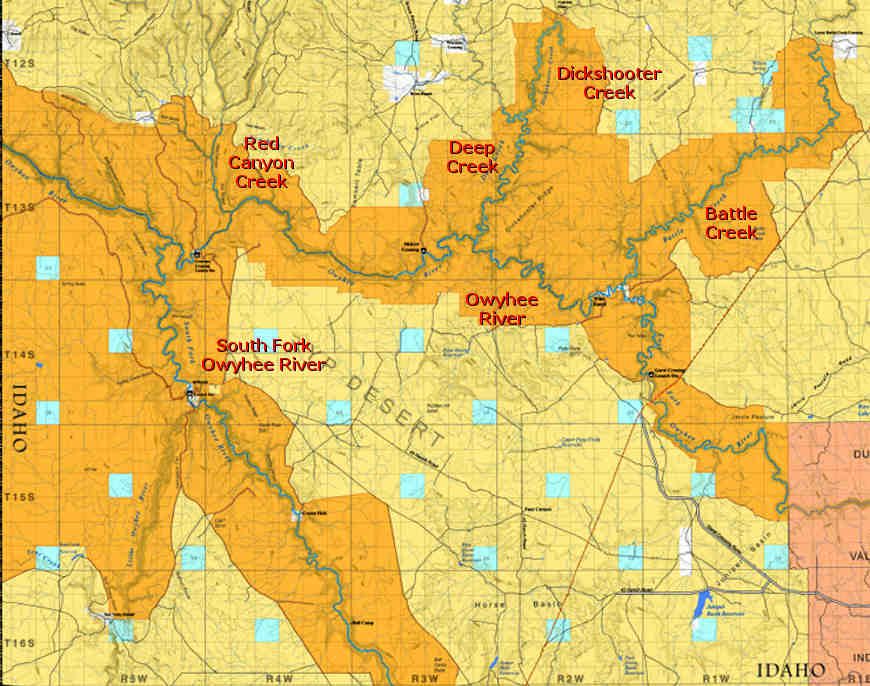
Owyhee River Wilderness
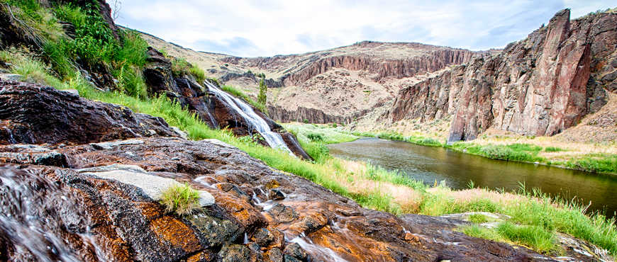
East Fork of the Owyhee River in Owyhee River Wilderness
The Owyhee River Wilderness is comprised of about 267,328 acres of deep river canyon and geological delights in southwestern Idaho. In one direction the wilderness is up against the Oregon state line, in another direction it's up against the Nevada state line and to the east it borders the Duck Valley Indian Reservation. But for the most part, the wilderness follows the routes of the various headwater streams feeding into the main Owyhee River. 67.3 miles of waterway in the Owyhee River Wilderness have been designated as "wild and scenic river" and one of the major human pastimes in this area is whitewater rafting through this fantastical landscape.
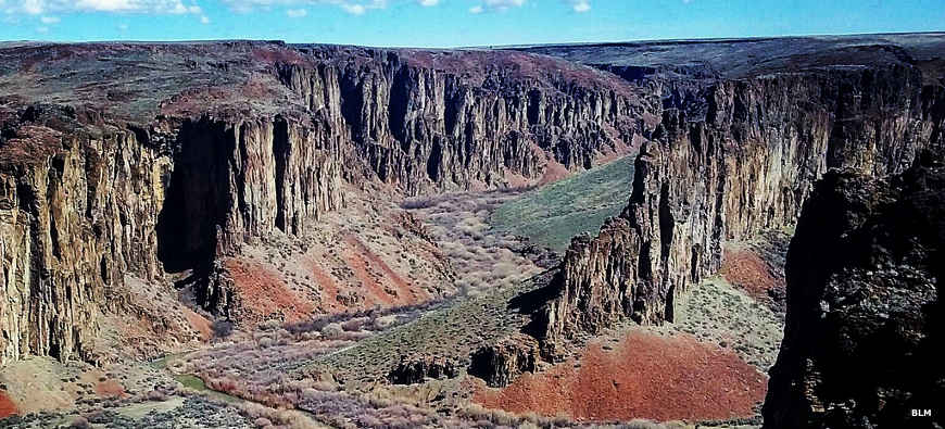
This is a deep-cut volcanic landscape of basalt and rhyolite eroded into very deep, steep-walled canyons. There are almost no trails and only a few old roads (tunneled into the wilderness) that reach the very few places where access to the rivers is reasonably easy. For traveling any kind of distance in the wilderness area, most folks get around by boat. Most of the water is classed as Class I or II but there are a couple places in the South and East Forks of the Owyhee where the classification reaches III and IV. You can travel cross-country but you'll need very good maps, a GPS device and an interest in and ability to scramble over the rock.
For the most part it's not a particularly lush sagebrush-and-juniper landscape but there are pronghorn antelope, bighorn sheep, prairie falcons, cougars and coyotes.
Battle Creek Wilderness Study Area was included in the Owyhee River Wilderness when it was designated in 2009. The Battle Creek area is a maze of 19 miles of narrow and meandering canyons with walls up to 400 feet high. There are riparian bands of rushes, sedges and lush grasses along the waterways. Those canyon walls that aren't sheer are usually covered with bunchgrasses and varieties of sagebrush and bitterbrush.
The Juniper Creek, Little Owyhee River, Owyhee River-Deep Creek, Owyhee River Canyon, South Fork Owyhee River and Yatahoney Creek Wilderness Study Areas were also incorporated into Owyhee River Wilderness.

Kayaks on the Owyhee River
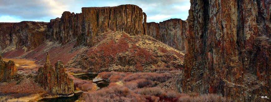
In the Owyhee River Wilderness
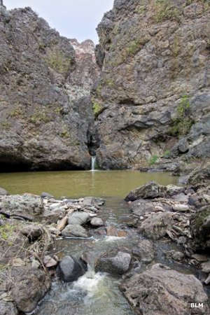
Battle Creek meets the East Fork of the Owyhee River
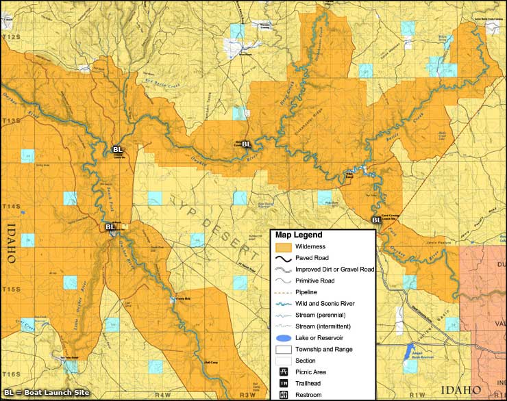
Photos and big map courtesy of the Bureau of Land Management
Related Pages
Map courtesy of the Bureau of Land Management