Cottonwood Creek Wild and Scenic River
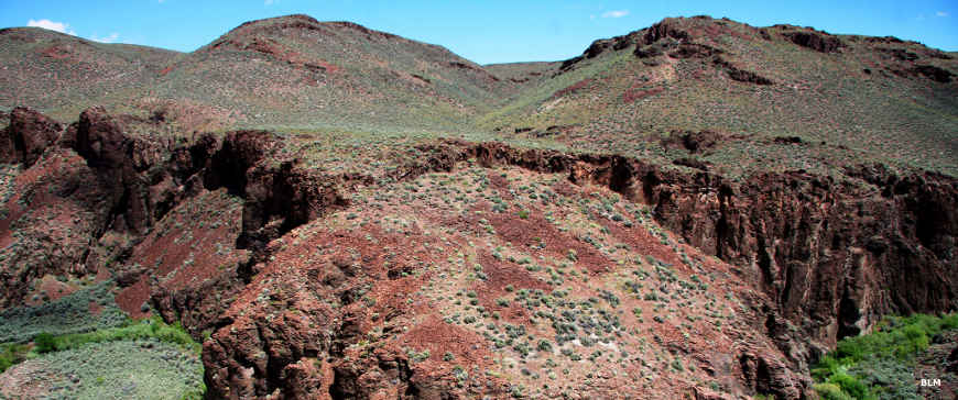
Looking down on Cottonwood Creek
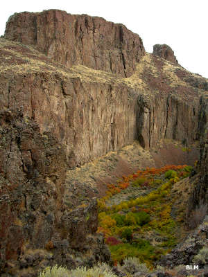
2.6 miles of Cottonwood Creek within Big Jacks Creek Wilderness is designated Wild & Scenic. That stretch of the creek runs from its confluence with Big Jacks Creek upstream to the wilderness boundary.
A product of extensive volcanic activity during the Miocene Epoch (24 to 5 million years ago), the region is part of the Owyhee Canyonlands, the largest concentration of sheer basalt/rhyolite canyons in the western United States. Other streams in the Big Jacks Creek drainage area also designated Wild and Scenic include Duncan Creek, Big Jacks Creek and Wickahoney Creek.
The wilderness area around Cottonwood Creek consists of plateaus and deep, rugged canyons with streams that provide habitat for redband trout, sage hens, mountain quail, mule deer, antelope, mountain lions, bobcats, coyotes and bighorn sheep. Cottonwood Creek itself flows nicely in the spring.
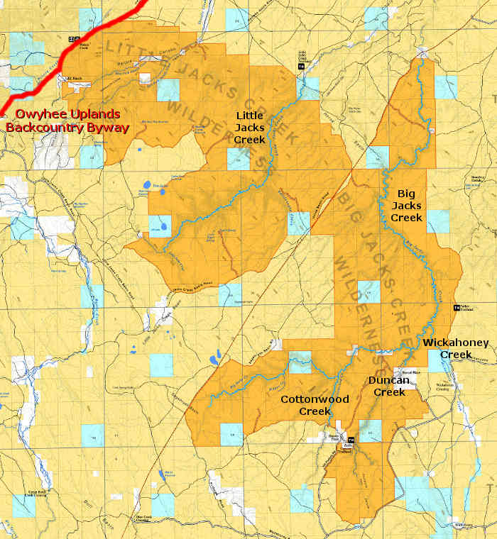
Most folks reach the area by traveling dirt roads around the eastern and southern sides of the wilderness area. The canyon itself drops below an otherwise relatively flat plain. There are no established trails in the area of Cottonwood Creek but there are many trails left across the plains above the canyon by the many deer hunters who come to the area in season. The nearest trailhead to Cottonwood Creek is at the top of the Duncan Creek/Zeno Canyon trail.
Photos courtesy of the Bureau of Land Management
Related Pages
Map courtesy of the Bureau of Land Management