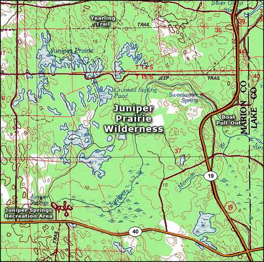
Juniper Prairie Wilderness
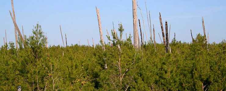
Regrowth after a fire on Juniper Prairie Wilderness

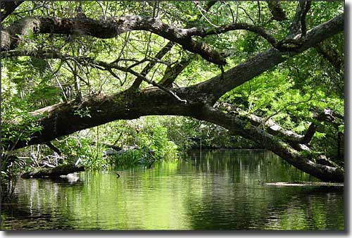
Juniper Run
The Juniper Prairie Wilderness is a mix of Longleaf and Sand pine scrub, prairie, swamp hardwoods, sawgrass meadows, marshes and subtropical palm jungles covering 13,260 acres on the Ocala National Forest. Most of the property forms the drainage basin for the Juniper River.
Once upon a time (back in the 1840's), Patrick Smith settled here in an area that became known as "Pat's Island." In 1872, Reuben Long and his family moved in and filed homestead papers on the place. Slowly, the settlement at Pat's Island grew until around the turn of the century, maybe a dozen families lived there. They supported themselves by hunting, fishing, farming and trading with travelers along the St. Johns River. However, the economic conditions were horrible and most of the folks left before Ocala National Forest was established in 1908.
The last two inhabitants, Mary and Calvin Long, left the area in 1935, but not before they were visited by author Marjorie Kinnan Rawlings. Over a series of visits in the fall of 1933, Rawlings recorded the stories the Long's told her, and they formed the basis for The Yearling, a novel published in 1938 that won Rawlings the Pulitzer prize in 1939.
The Florida Trail cuts across the center of Juniper Prairie Wilderness. From Juniper Springs, it's a 12-mile round trip to Hidden Pond in the heart of the Wilderness. Camping is allowed but you probably to bring your own water. This is a busy area on most weekends but during the week, you might just have the whole place to yourself. A lot of folks go to the Juniper Springs Recreation Area and rent a canoe or kayak to make the float trip across the wilderness. Others hike in from the east or the north.
The eastern edge of Juniper Prairie Wilderness parallels US Highway 19. The southern boundary parallels US Highway 40. Both highways in this area are part of the Florida Black Bear Scenic Byway.
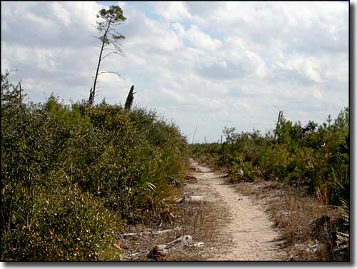
The Yearling Trail
Juniper Creek
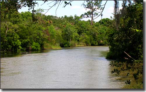
Juniper Creek as it leaves the wilderness area
Upper photo and photo of the Yearling Trail courtesy of Rolf Müller, CCA-by-SA 3.0 License
Other photos courtesy of TheArmchairExplorer, CCA-by-SA 3.0 License
Map courtesy of National Geographic Topo!
Other photos courtesy of TheArmchairExplorer, CCA-by-SA 3.0 License
Map courtesy of National Geographic Topo!