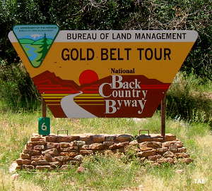
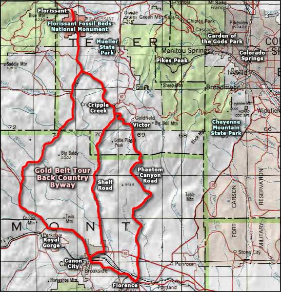
Gold Belt Tour Backcountry Byway
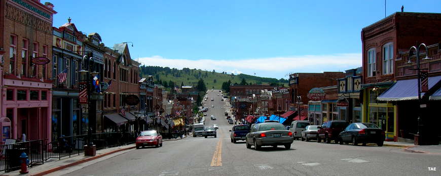
Downtown Cripple Creek
Bobby Womacks found a good vein of gold on the west side of Pikes Peak in 1859. That set off the Pikes Peak Gold Rush. Within a couple years, Cripple Creek and Victor were major towns at 10,000-foot elevations on the side of the mountain. In the beginning, there were smaller strikes found all over the area and shafts were sunk everywhere. Today, there's only one major gold mine still operating and it's a huge open pit. But so much history was made in this area, and so many artifacts have been left behind.
The Gold Belt Tour Backcountry Byway is a mix of paved and unpaved roads that cross different parts of this mass of granite on the backside of Pikes Peak. The most scenic roads travel through Shelf Canyon and Phantom Canyon. Shelf Road was a toll road built from Cripple Creek south to Canon City. For many years it was the only road to carry people and supplies in and gold ore out. Then a railroad track was laid down through Phantom Canyon to Florence and the freight pressure on Shelf Road eased off.
Today, Cripple Creek and Victor are shells of what they once were. Cripple Creek is now one of the three non-Indian gambling towns in Colorado. Gambling was promoted as a means of saving the town and its architecture from the ravages of time, and that has worked to some small extent. Victor, a bit further up the hill, is slowly eroding away. While the one operating gold mine employs many local folks and others work in the casinos of Cripple Creek, the biggest business in the area is tourism. And the biggest tourism customer feed is the Gold Belt Tour Backcountry Byway.
I've driven some parts of this route several times and some parts of it only once. It also took me a couple trips to get the entire route in...
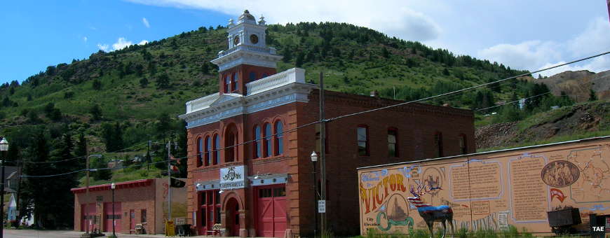
Victor City Hall
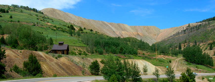
Old gold mine below, new gold mine above
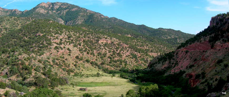
The tollkeeper's house, from when Shelf Road was a toll road
Photos courtesy of TheArmchairExplorer.com, CCA ShareAlike 4.0 License
Map courtesy of National Geographic Topo!
Related Pages
Map courtesy of National Geographic Topo!