Kingston Range Wilderness
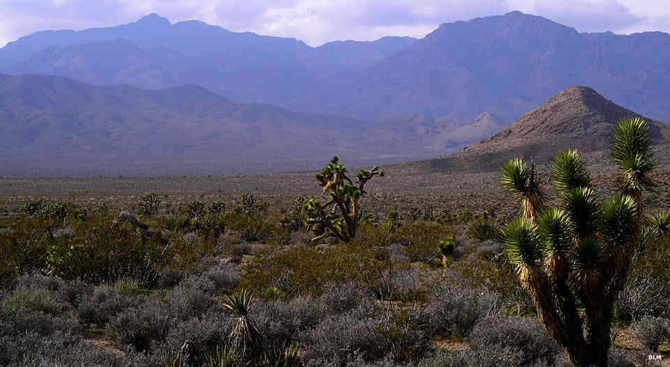
Approaching the Kingston Range Wilderness
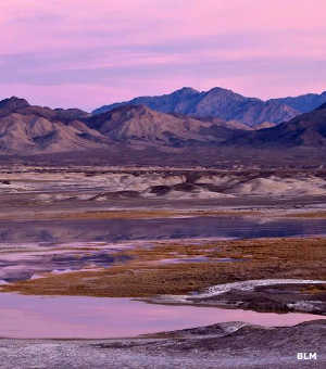
Another view of the Kingston Range
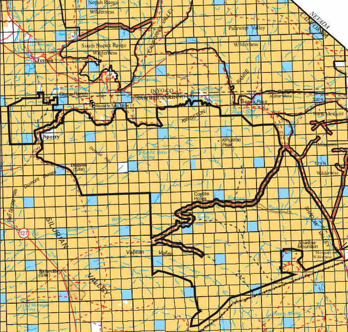
Kingston Range Wilderness is a 199,739-acre wilderness area located to the north of Mojave National Preserve in southern California. Kingston Range Wilderness is trisected with a couple roads cherry-stemmed through Cherry Wash and Kingston Wash to California Valley on the northeast side.
The northern-most unit is the Amargosa Unit, named after the perennial stream that flows through: the Amargosa River. This perennial surface stream in the desert supports multiple riparian corridors offering cover, food and nesting opportunities for a large range of birds. The waterflow and riparian habitats also sustain mammals, fish, mollusks and insects, many of which are rare, threatened or of limited distribution.
The largest unit, the Kingston Unit, contains a large portion of the Kingston Range, including a ridge 17 miles long above 6,000 feet. The high point in the wilderness is Kingston Peak at 7,323'.
The southern unit, the Shadow Mountain Unit, contains most of the Shadow Mountains, a low range of rounded peaks eroded with gentle meandering canyons and numerous erosion channels.
Botanists have described more than 500 species of native plants to be found on the property, about 30 species of which are recognized as rare, threatened and/or of limited distribution. The wilderness area straddles the transition zone between the Mojave Desert and Great Basin Desert, offering the northern-most and southern-most occurences of some species. In the lower areas of the wilderness the vegetation is primarily creosote bush scrub. That changes to mixed desert scrub as the elevation rises and turns to juniper-pinon woodland in the higher elevations. Kingston Range Wilderness offers the only stand of giant Nolina in the eastern Mojave Desert. There is also a relic stand of white fir trees clinging to the slopes below Kingston Peak. The Shadow Mountain Unit also contains a portion of the Shadow Valley-Cima Dome Joshua tree forest, one of the densest Joshua tree forests on Earth.
The vegetation and perennial water supply support many species of plants and animals that don't occur in the surrounding drier habitats. The usual Mojave Desert wildlife lives here: bighorn sheep, coyote, bobcat, mule deer, kangaroo rat, ground squirrel, black-tailed jackrabbit, quail, roadrunner, rattlesnakes, tarantulas and several species of lizards. Kingston Range Wilderness is also one of four places in California where sightings of the banded gila monster have been documented. The southeastern portion of the wilderness is habitat critical to the survival of the threatened desert tortoise.
To get there many folks take California Highway 127. Other folks follow the Old Spanish Trail Highway or they get to the eastern boundary using the Excelsior Mine Road off the Cima Road from Interstate 15, about 26 miles east of Baker.
Camping is allowed with a 14-day stay limit. After that, the campsite must be moved at least 25 miles away.
Across a road corridor to the east are Mesquite Wilderness and North Mesquite Mountains Wilderness. Across a valley to the northeast is Pahrump Valley Wilderness. To the northwest are South Nopah Range Wilderness and Nopah Range Wilderness. To the west is Death Valley National Park. To the south, across Riggs Wash, is Hollow Hills Wilderness and Mojave National Preserve.
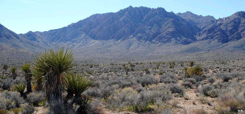
Joshua trees and the Kingston Range Wilderness
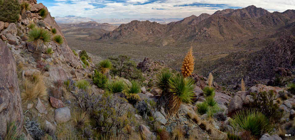
Another view at Kingston Range Wilderness
Upper image courtesy of Chris Barnes, BLM, CCA 2.0 License
Other photos and map courtesy of the BLM
Other photos and map courtesy of the BLM