Argus Range Wilderness
Argus Range Wilderness
The Argus Range Wilderness runs east of the crest of the Argus Range in the Mojave Desert. The western boundary is against the China Lake military reservation, which makes most of the high peaks of the Argus Range off-limits to civilians. From that western boundary to the eastern boundary there is less than than 2 miles at almost every point. With 65,726 acres, the wilderness area does run for 28 miles along that military fence in the Panamint Valley. Across the highway to the north and east is Death Valley Wilderness. There are a couple of gotchas in the Argus Range: 1) several 40-acre private parcels and 2) a deep-into-the-wilderness cherry-stemmed road in Snow Canyon.
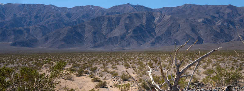
The Argus Range Wilderness area is very dry, very steep and very dissected with deep canyons. Elevations vary from about 7,500 feet along the western boundary to about 2,800 feet along the eastern boundary. The mountains show signs of past mining activity and there are a few sites of prehistoric interest. There are also a few small springs that support a population of desert bighorn sheep. On the lower slopes the vegetation is dominated by creosote-shrub communities while there are scattered pinon-juniper communities in the higher elevations.
There are no marked or maintained trails in the wilderness area but the hiking in the canyon bottoms isn't bad.
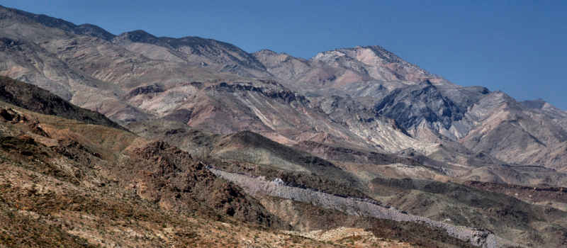
Looking uphill toward the Argus Mountains
Photos and map courtesy of the BLM, CCA 2.0 License