Hassayampa River Canyon Wilderness

Along the Hassayampa River in the Hassayampa River Canyon Wilderness
Hassayampa River Canyon Wilderness is an 11,840-acre property located along the upper Hassayampa River about 8 miles northeast of Wickenburg. The area has seen a lot of mining activity in the past and some of the mining claims are still active. There's a lot of private property abutting the wilderness area and at least one private parcel inside the wilderness boundary. Easiest access is also across private property: you'll want to secure permission first.
The highest point in the Hassayampa River Canyon Wilderness is Sam Powell Peak at 4,015 feet. Just north of Sam Powell Peak is a rather unique monolith called "The Needle." Vegetation in the area is typical Sonoran Desert: mostly paloverde, saguaro and thick chaparral. Most hikers and horseback riders seem to stick to traveling along to the river bottom as that is the easiest way to get around on the property. As the river flows freely year round, you'll find some nice riparian zones in the heart of this huge desert.
To get there: From Wickenburg, go north on the Constellation Road toward the Williams Ranch. Access to the wilderness is across private land: fair warning. If you are allowed access, you'll want to have at least high-clearance under your vehicle, if not full 4WD to reach the wilderness boundary.
7.5-minute Topo Maps: Sam Powell Peak, Yarnell, Morgan Butte, Wagoner

Hassayampa River Canyon Wilderness

Photos courtesy of the Bureau of Land Management
Maps courtesy of National Geographic Topo!
Related Pages
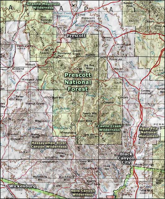
Map courtesy of National Geographic Topo!