Fish Springs National Wildlife Refuge
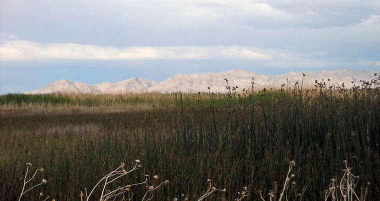
Marshlands at Fish Springs National Wildlife Refuge
Fish Springs National Wildlife Refuge is located in the Fish Springs marshes at the southern end of the Great Salt Lake Desert. This is a remnant of the ancient Lake Bonneville, an ice age lake that slowly drained off and evaporated to where Fish Springs is one of the few remnants left. The refuge was established in 1959 to preserve and protect important habitat for migrating and wintering birds. 10,000 acres of this 17,992-acre refuge are lush, spring-fed marsh and wetlands. To maintain water levels and keep the productive wetlands habitats viable, the refuge staff maintains more than 40 miles of roads, dikes and ditches, plus more than 115 other water control structures. On a 6-year-long rotating cycle, all of the refuge's water impoundments are drained, mimicking the drying processes that would naturally occur as a wetlands went through a normal drought cycle. During that same 6-year rotation, every parcel of the refuge gets burned, too, to release nutrients back into the matrix and to clear out the residual vegetation. The diverse array of plant communities and water depths at Fish Springs National Wildlife Refuge provides critical habitat for almost 280 species of migratory birds, 14 reptilian species, 44 mammalian species and 3 species of fish.
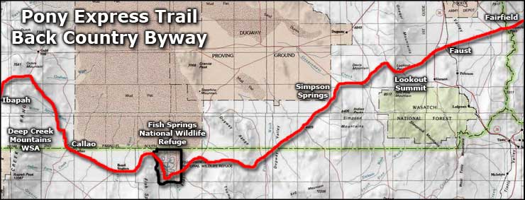
To get there: take the I-80 west from Salt Lake City to exit 99 (Utah Highway 36). Follow Highway 36 south for about 40 miles to the junction with the Pony Express Trail Backcountry Byway, just east of Faust. Take the right and follow that dirt road for about 61 miles to the Fish Springs NWR entrance.
From Delta: go north on US Highway 6 to Utah Highway 174. Go left on Highway 174 for 42 miles to the end of the pavement, then keep going another 15 miles to the junction with the Pony Express Trail Backcountry Byway. Go left about 3/4 miles to the refuge entrance. The Refuge Headquarters is about 7 miles in from the east entrance. The refuge office is open 7 am to 4:30 pm Monday to Friday.
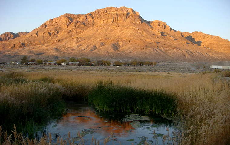
Middle Spring at Fish Springs National Wildlife Refuge
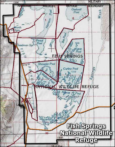
Fish Springs National Wildlife Refuge area map
Upper photo courtesy of David Jolley, CCA-by-SA 3.0 License
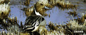
Photo of the pintail duck at courtesy of the US Fish & Wildlife Service
Lower photo courtesy of Wikipedia userid Qfl247, CCA-by-SA 3.0 License
Map courtesy of National Geographic Topo!
Photo of the pintail duck at courtesy of the US Fish & Wildlife Service
Lower photo courtesy of Wikipedia userid Qfl247, CCA-by-SA 3.0 License
Map courtesy of National Geographic Topo!
Related Pages
Map courtesy of National Geographic Topo!