Rio San Antonio Wilderness
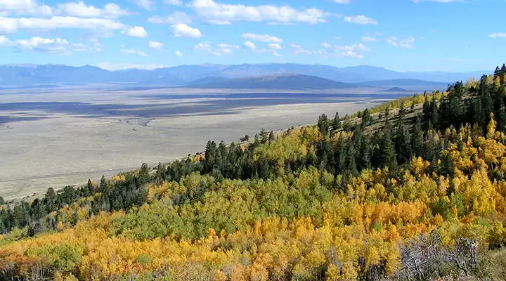
Rio San Antonio Wilderness: A view from nearby San Antonio Mountain
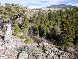
Rio San Antonio Wilderness is an 8,120-acre property on the northwestern side of San Antonio Mountain. Elevations on the property range from about 7,900 feet to about 8,800 feet. The property rises gently from northeast to southwest and is cut by a gorge about 100 feet deep at the Rio San Antonio. There are times when the river flows reasonably well but upstream diversions cause it to go dry on the Wilderness in late summer. Vegetation in most of the area is native grasses and shrubs but in the gorge there are stretches of Douglas fir and spruce. To the west and southwest the wilderness abuts Carson National Forest.
To get there: Turn west off Highway 285 about 19 miles north of Tres Piedras onto Forest Road 118. Go about three miles to an unmaintained, unmarked dirt road heading north. It will branch into other routes but all will come back together again about two miles in, very close to the eastern boundary of the San Antonio Wilderness Study Area. These are Forest Service Roads: you'll need 2WD with high clearance at least, as long as it's dry.
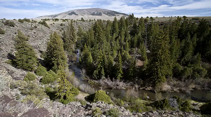
Rio San Antonio Canyon
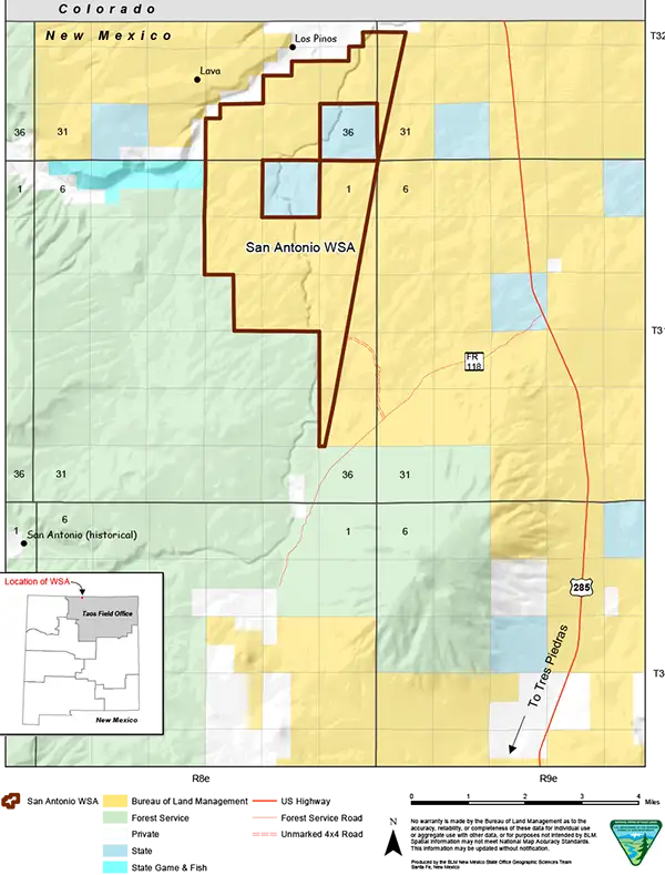
Rio San Antonio Wilderness map
Photos and map courtesy of the Bureau of Land Management