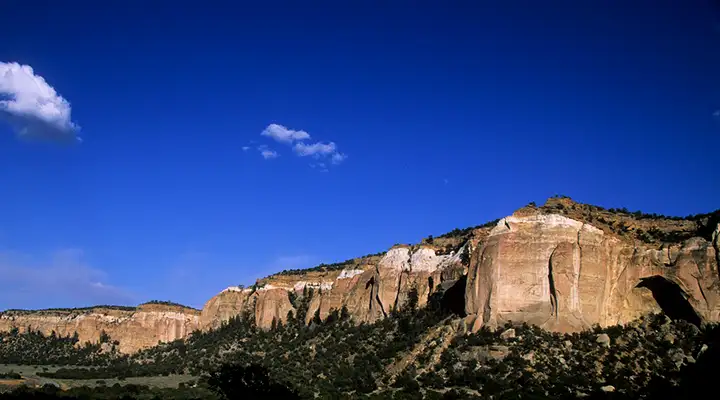
Canyons Wilderness Study Area
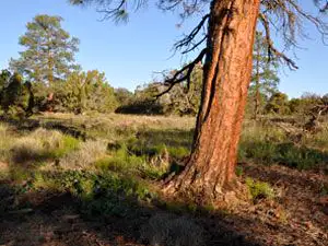
Along the road next to Canyons Wilderness Study Area
Canyons Wilderness Study Area is composed of several non-contiguous parcels in the El Malpais National Conservation Area that add up to about 3,930 acres. The parcels are all included as part of a plan to add them to neighboring Cebolla Wilderness. The landscape is mostly piñ-covered sandstone hills and sagebrush flats.
To get there: Exit Interstate 40 about 6 miles east of Grants and go south on NM 117 for about 26 miles. At Cebolla Canyon Road turn and go south. The northern border of Canyons WSA is about 2 miles down and for the next 1.5 miles the property is to the east of the road. At the junction with Sand Canyon Road the WSA is on both sides of the road no matter which route you follow. Both routes are cherry-stemmed into the WSA until they reach the boundary of Cebolla Wilderness.
The road is usually passable by a 2WD vehicle with suitable clearance, as long as it's dry. If it's wet even 4WD will have problems.
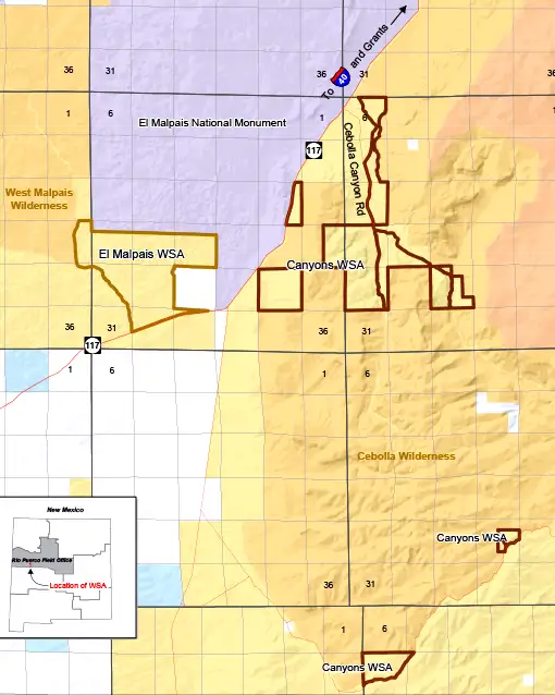
Canyons Wilderness Study Area map
Photos and map courtesy of the Bureau of Land Management