Lunar Crater Backcountry Byway
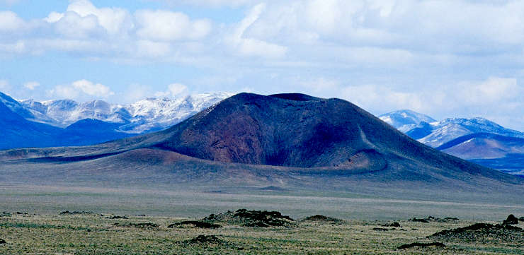
Easy Chair Crater along the Lunar Crater Backcountry Byway
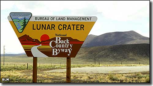
Lunar Crater was designated a National Natural Landmark in 1973. The Lunar Crater Backcountry Byway that travels through this volcanic area is a 24-mile loop that extends both north and south of US Highway 6 between Warm Springs and Currant. For the most part, a drive along this back country byway is a drive across a flat dry lake bed in the heart of some incredible (almost alien) scenery, but parts of this bumpy and unpaved road want a high clearance vehicle. Depending on how often you stop, this is a 1 to 2 hour drive.
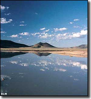
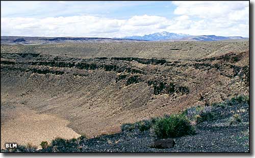
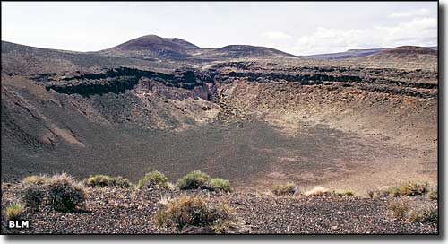
This volcanic area got the "Lunar" name because of its resemblance to findings on the moon. The volcanic field is complete with cinder cones, basalt flows and 20 or more extinct volcanoes near by. Easy Chair Crater (pictured above) is one of the first volcanic cones you come to after leaving the pavement. Lunar Crater itself is about 3/4 mile wide and up to 400 feet deep, the caldera of an ancient and now-extinct volcano. The most recent lava flows in the area (and Lunar Crater itself) are perhaps 2,000 years old. All that volcanic soil usually makes for incredible wildflowers in season... and depending on how much rain there's been lately there might even be some water on the floor of Lunar Lake.
Back in the days of the Apollo Space Program, NASA used this property as a training ground for astronauts. They had more than 100 square miles of moon-like surface to work with here.
In the areas south of Lunar Lake you'll find several dirt roads leading off into the distance: some aren't too bad to travel but others need some technical 4WD skills. None of them lead to civilization. If you run into a problem anywhere, you might be really out of luck: in the summer and winter it might be several weeks before the next visitor to the byway itself appears. For that matter, the nearest gas, food, supplies and lodging are in Tonopah, about 80 miles to the west.
Lunar Crater itself
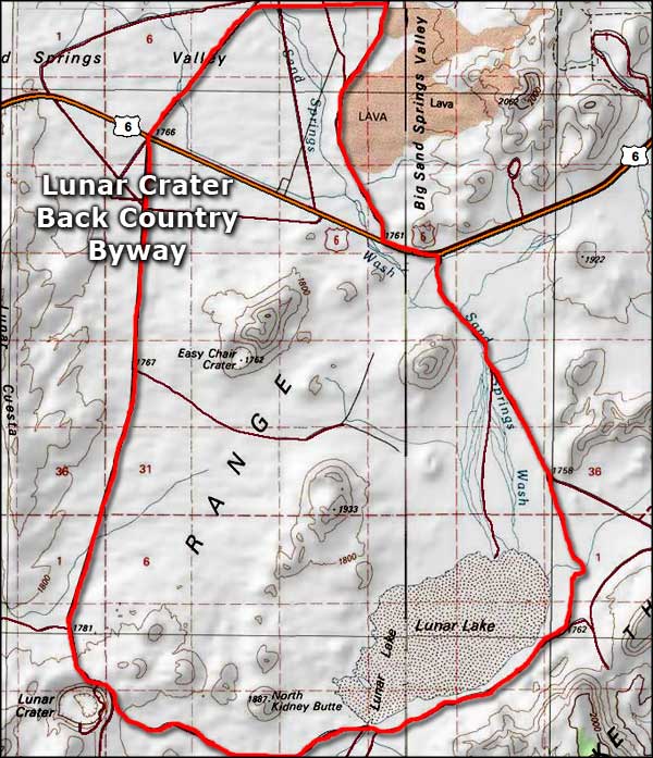
Lunar Crater Backcountry Byway area map
Upper left photo courtesy of Chris Ross, Bureau of Land Management
Other photos of Lunar Crater area are courtesy of the Bureau of Land Management
Map courtesy of National Geographic Topo!
Other photos of Lunar Crater area are courtesy of the Bureau of Land Management
Map courtesy of National Geographic Topo!
Related Pages
Map courtesy of National Geographic Topo!